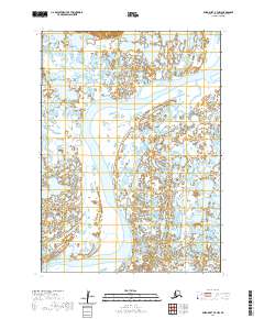
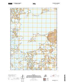
2020 Map of Baird Inlet B-7 NW
USGS Topo · Published 2020About this map
Nightmute sits along the coastal lowlands of Nelson Island in this western Alaska survey, marking a vital point of human settlement amidst a landscape dominated by water. The terrain is characterized by a complex network of wetlands and tidal influences, where Chungeelik Creek winds through the northern sections of the map. The map provides a detailed view of the Public Land Survey System divisions, such as t5n r87w and t4n r88w, which define the administrative boundaries in this remote region. For researchers, the presence of the established village of Nightmute offers a clear look at the spatial organization of the community relative to the surrounding hydrologic features, reflecting the enduring connection between the residents of the Bethel Census Area and their water-bound environment.
Find a feature on this map
9 named features on this map. Tap any name to fly to it.
Don’t see what you’re looking for? This feature index may not catch every label — zoom into the map to look around manually.
Map Details
Editions of this 2020 Baird Inlet B-7 NW Map
This is the sole edition of this map. No revisions or reprints were ever made.
Other maps of this area

1951 · Baird Inlet
USGS Topo · 1:250,000

1954 · Baird Inlet C-7
USGS Topo · 1:63,360

1954 · Baird Inlet
USGS Topo · 1:250,000

1954 · Baird Inlet B-7
USGS Topo · 1:63,360

1954 · Baird Inlet C-8
USGS Topo · 1:63,360

1954 · Baird Inlet B-8
USGS Topo · 1:63,360
2020 · Baird Inlet C-7 SE
USGS Topo · 1:25,000
2020 · Baird Inlet C-8 SE
USGS Topo · 1:25,000
2020 · Baird Inlet B-7 NE
USGS Topo · 1:25,000
2020 · Baird Inlet B-7 SE
USGS Topo · 1:25,000