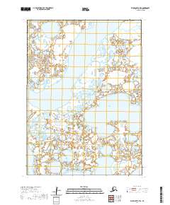
2020 Map of Baird Inlet C-7 SE
USGS Topo · Published 2020About this map
The low-lying tundra of the Bethel Census Area is defined by a dense labyrinth of water, where the Urumangnak River and Kinaruk River snake through a landscape of countless unnamed ponds and wetlands. This 2020 survey illustrates the complex drainage patterns of the Yukon-Kuskokwim Delta, anchored by the significant expanse of Kinarak Lake. The lack of man-made infrastructure or overland routes emphasizes the region's reliance on these waterways for movement and subsistence.
Find a feature on this map
10 named features on this map. Tap any name to fly to it.
Don’t see what you’re looking for? This feature index may not catch every label — zoom into the map to look around manually.
Map Details
Editions of this 2020 Baird Inlet C-7 SE Map
This is the sole edition of this map. No revisions or reprints were ever made.
Other maps of this area

1951 · Baird Inlet
USGS Topo · 1:250,000
1953 · Baird Inlet C-6
USGS Topo · 1:63,360

1954 · Baird Inlet C-7
USGS Topo · 1:63,360

1954 · Baird Inlet
USGS Topo · 1:250,000

1954 · Baird Inlet B-6
USGS Topo · 1:63,360

1954 · Baird Inlet B-7
USGS Topo · 1:63,360
2020 · Baird Inlet C-7 NE
USGS Topo · 1:25,000
2020 · Baird Inlet B-6 NW
USGS Topo · 1:25,000
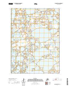
2020 · Baird Inlet B-7 NE
USGS Topo · 1:25,000
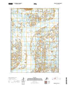
2020 · Baird Inlet B-7 NW
USGS Topo · 1:25,000