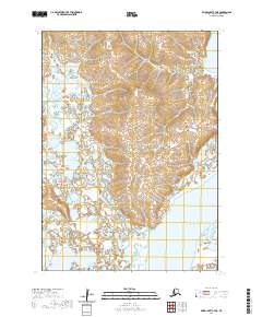
2020 Map of Baird Inlet C-7 NE
USGS Topo · Published 2020About this map
Nyctea Hills rise above a complex landscape of wetlands and tundra drainage in this coastal Alaskan region. The terrain is defined by its intricate hydrography, where the waters of Kagan Lake and the meandering channels of Chakchak Creek weave through the lowlands. Near the eastern edge of the quadrangle, the land meets the tidal reach of Baird Inlet, a significant feature of the Bethel Census Area's geography. The map reveals the extensive network of smaller waterways, including the winding Kuikchungnak Creek, illustrating the seasonally saturated character of this remote subarctic environment. This 2020 survey documents the natural state of the landscape, providing a baseline for understanding the shifts in hydrology and coastal landforms in southwestern Alaska.
Find a feature on this map
11 named features on this map. Tap any name to fly to it.
Don’t see what you’re looking for? This feature index may not catch every label — zoom into the map to look around manually.
Map Details
Editions of this 2020 Baird Inlet C-7 NE Map
This is the sole edition of this map. No revisions or reprints were ever made.
Other maps of this area

1951 · Baird Inlet
USGS Topo · 1:250,000
1953 · Baird Inlet C-6
USGS Topo · 1:63,360

1954 · Baird Inlet D-6
USGS Topo · 1:63,360

1954 · Baird Inlet C-7
USGS Topo · 1:63,360

1954 · Baird Inlet D-7
USGS Topo · 1:63,360

1954 · Baird Inlet
USGS Topo · 1:250,000
2020 · Baird Inlet C-7 SE
USGS Topo · 1:25,000
2020 · Baird Inlet D-7 SW
USGS Topo · 1:25,000
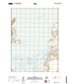
2020 · Baird Inlet C-6 NW
USGS Topo · 1:25,000
2020 · Baird Inlet D-6 SW
USGS Topo · 1:25,000