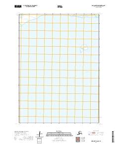
2020 Map of Baird Inlet D-6 SW
USGS Topo · Published 2020About this map
Olor Island sits within the complex hydrologic network of the Yukon-Kuskokwim Delta, a landscape defined by its subtle elevation changes and expansive wetlands. This 2020 topographic record illustrates the intricate water systems in the northern reaches of Baird Inlet, where land and water merge into a mosaic of tidal influences and tundra ponds. To the north, the waters of Kagalurpak Lake dominate the upper margin, highlighting the seasonal fluctuations common to this region of the Bethel Census Area. The lack of built infrastructure or road networks underscores the preservation of traditional subsistence land patterns, where movement relies on seasonal waterways rather than terrestrial corridors.
Find a feature on this map
7 named features on this map. Tap any name to fly to it.
Don’t see what you’re looking for? This feature index may not catch every label — zoom into the map to look around manually.
Map Details
Editions of this 2020 Baird Inlet D-6 SW Map
This is the sole edition of this map. No revisions or reprints were ever made.
Other maps of this area

1951 · Baird Inlet
USGS Topo · 1:250,000
1953 · Baird Inlet C-6
USGS Topo · 1:63,360

1954 · Baird Inlet D-6
USGS Topo · 1:63,360

1954 · Baird Inlet C-7
USGS Topo · 1:63,360

1954 · Baird Inlet D-7
USGS Topo · 1:63,360

1954 · Baird Inlet
USGS Topo · 1:250,000
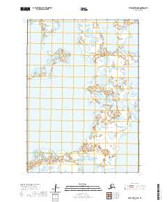
2020 · Baird Inlet D-6 NE
USGS Topo · 1:25,000
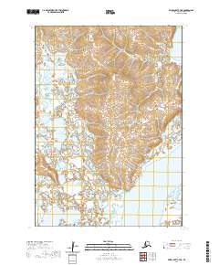
2020 · Baird Inlet C-7 NE
USGS Topo · 1:25,000
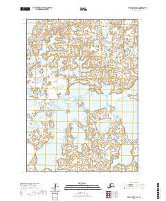
2020 · Baird Inlet C-6 NE
USGS Topo · 1:25,000
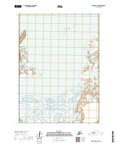
2020 · Baird Inlet C-6 NW
USGS Topo · 1:25,000