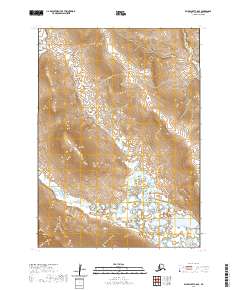
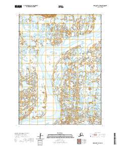
2020 Map of Baird Inlet C-8 SE
USGS Topo · Published 2020About this map
The Toksook River defines the lower drainage patterns of this Alaskan landscape within the Bethel Census Area. This remote coastal tundra environment is characterized by a high concentration of wetlands and intricate water systems that shift across the lowland plains. The topographical detail reveals the subtle elevation changes that govern the flow of the river as it winds through the southwestern portion of the sheet. Surveyed by the U.S. Geological Survey and based on imagery from 2016, the map represents the modern baseline for this sparsely populated region, where the natural terrain remains the primary feature over human settlement. The grid-like division of townships, including t5n r88w and t6n r88w, provides the only administrative structure over this vast network of river bends and marshland.
Find a feature on this map
7 named features on this map. Tap any name to fly to it.
Don’t see what you’re looking for? This feature index may not catch every label — zoom into the map to look around manually.
Map Details
Editions of this 2020 Baird Inlet C-8 SE Map
This is the sole edition of this map. No revisions or reprints were ever made.
Other maps of this area

1951 · Baird Inlet
USGS Topo · 1:250,000

1954 · Baird Inlet C-7
USGS Topo · 1:63,360

1954 · Baird Inlet
USGS Topo · 1:250,000

1954 · Baird Inlet B-7
USGS Topo · 1:63,360

1954 · Baird Inlet C-8
USGS Topo · 1:63,360

1954 · Baird Inlet B-8
USGS Topo · 1:63,360
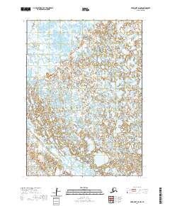
2020 · Baird Inlet B-8 NW
USGS Topo · 1:25,000
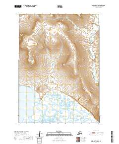
2020 · Baird Inlet C-8 SW
USGS Topo · 1:25,000
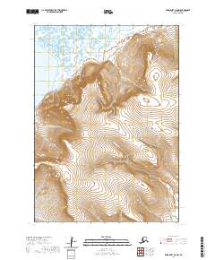
2020 · Baird Inlet C-8 NW
USGS Topo · 1:25,000
2020 · Baird Inlet B-7 NW
USGS Topo · 1:25,000