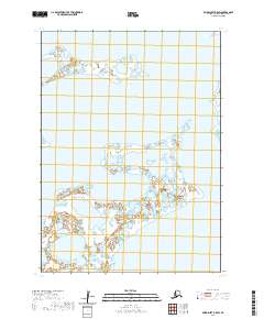
2020 Map of Baird Inlet B-5 SW
USGS Topo · Published 2020About this map
Dall Lake dominates the northern reaches of this landscape in the Bethel Census Area, situated within a vast expanse of wetlands and small water bodies that characterize the Yukon-Kuskokwim Delta region. The map illustrates the complex hydrography of the Alaskan tundra, where land and water merge into a intricate network of ponds and saturated ground. Surveyed across townships t3n r84w, t3n r83w, t2n r84w, and t2n r83w, the area remains largely undeveloped, preserving a natural state essential for local subsistence and traditional land use. This 2020 edition provides a precise record of the shoreline and elevation of this ever-shifting subarctic environment.
Find a feature on this map
5 named features on this map. Tap any name to fly to it.
Don’t see what you’re looking for? This feature index may not catch every label — zoom into the map to look around manually.
Map Details
Editions of this 2020 Baird Inlet B-5 SW Map
This is the sole edition of this map. No revisions or reprints were ever made.
Other maps of this area

1951 · Baird Inlet
USGS Topo · 1:250,000

1953 · Baird Inlet B-5
USGS Topo · 1:63,360
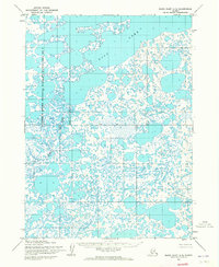
1954 · Baird Inlet A-5
USGS Topo · 1:63,360

1954 · Baird Inlet
USGS Topo · 1:250,000

1954 · Baird Inlet B-6
USGS Topo · 1:63,360
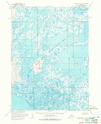
1954 · Baird Inlet A-6
USGS Topo · 1:63,360
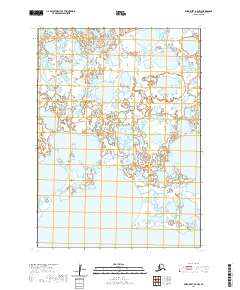
2020 · Baird Inlet B-5 NW
USGS Topo · 1:25,000
2020 · Baird Inlet B-5 NE
USGS Topo · 1:25,000
2020 · Baird Inlet A-5 NE
USGS Topo · 1:25,000
2020 · Baird Inlet B-5 SE
USGS Topo · 1:25,000