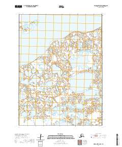
2020 Map of Baird Inlet A-5 NE
USGS Topo · Published 2020About this map
Dall Lake sits at the northern edge of this expansive aquatic landscape in the Bethel Census Area, where the boundary between land and water is perpetually fluid. This 2020 survey of the Baird Inlet region reveals an intricate network of unnamed ponds, sloughs, and wetlands that dominate the Yukon-Kuskokwim Delta. The vast mosaic of small water bodies illustrates a landscape shaped by seasonal changes and alluvial processes, where dry ground is a rarity.
Find a feature on this map
7 named features on this map. Tap any name to fly to it.
Don’t see what you’re looking for? This feature index may not catch every label — zoom into the map to look around manually.
Map Details
Editions of this 2020 Baird Inlet A-5 NE Map
This is the sole edition of this map. No revisions or reprints were ever made.
Other maps of this area

1951 · Baird Inlet
USGS Topo · 1:250,000

1953 · Baird Inlet B-5
USGS Topo · 1:63,360
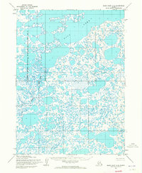
1954 · Baird Inlet A-5
USGS Topo · 1:63,360

1954 · Baird Inlet
USGS Topo · 1:250,000
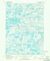
1954 · Baird Inlet B-4
USGS Topo · 1:63,360
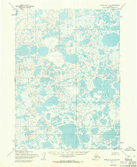
1954 · Baird Inlet A-4
USGS Topo · 1:63,360
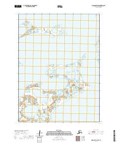
2020 · Baird Inlet B-5 SW
USGS Topo · 1:25,000
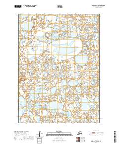
2020 · Baird Inlet B-4 SW
USGS Topo · 1:25,000
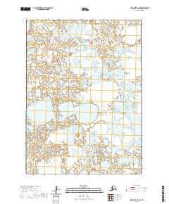
2020 · Baird Inlet A-4 NW
USGS Topo · 1:25,000
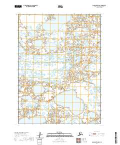
2020 · Baird Inlet A-5 SE
USGS Topo · 1:25,000