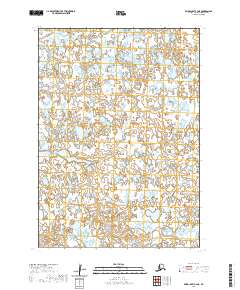
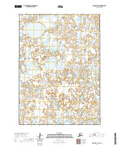
2020 Map of Baird Inlet C-4 NE
USGS Topo · Published 2020About this map
Vast wetland complexes and intricate hydrography dominate this portion of the Bethel Census Area, as documented in this 2020 topographic survey. The landscape is a labyrinth of unnamed lakes, ponds, and saturated terrain, structured by the Public Land Survey System grids of T8n R80w, T7n R80w, and T6n R80w. The survey reveals a region defined by its fluid boundaries and lack of permanent human settlements or infrastructure, highlighting the preservation of a primitive environment. Researchers and genealogists interested in the historical land divisions of Western Alaska can trace the township and range lines across T8n R79w, T7n R79w, and T6n R79w, which provide the only fixed markers in this shifting mosaic of water and earth.
Find a feature on this map
6 named features on this map. Tap any name to fly to it.
Don’t see what you’re looking for? This feature index may not catch every label — zoom into the map to look around manually.
Map Details
Editions of this 2020 Baird Inlet C-4 NE Map
This is the sole edition of this map. No revisions or reprints were ever made.
Other maps of this area

1951 · Baird Inlet
USGS Topo · 1:250,000

1954 · Baird Inlet
USGS Topo · 1:250,000
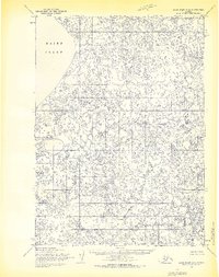
1954 · Baird Inlet C-4
USGS Topo · 1:63,360
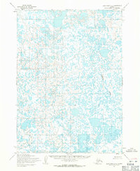
1954 · Baird Inlet C-3
USGS Topo · 1:63,360
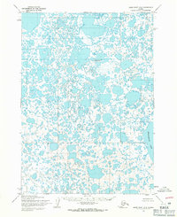
1954 · Baird Inlet D-3
USGS Topo · 1:63,360
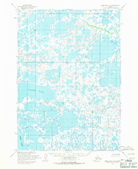
1954 · Baird Inlet D-4
USGS Topo · 1:63,360
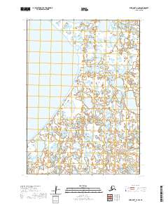
2020 · Baird Inlet C-4 NW
USGS Topo · 1:25,000
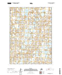
2020 · Baird Inlet C-4 SE
USGS Topo · 1:25,000
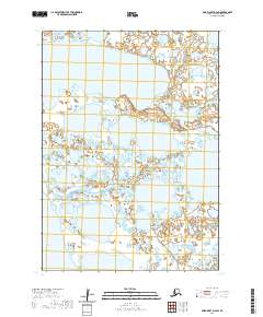
2020 · Baird Inlet D-4 SW
USGS Topo · 1:25,000
2020 · Baird Inlet C-4 SW
USGS Topo · 1:25,000