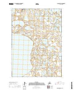
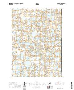
2017 Map of Baird Inlet D-2 SE
USGS Topo · Published 2017About this map
Kasigluk sits at the northern edge of this wet, subarctic landscape, appearing as a significant hub in the Yukon-Kuskokwim Delta region. The settlement is positioned along the meandering Johnson River, which snakes across a tundra plain dominated by vast freshwater bodies. The presence of the Kasigluk Airport underscores the critical role of air travel for connectivity in a region where the traditional water routes remain the primary arteries for movement. To the east and south, the terrain is defined by large, irregular lakes including Nunavakanukakslak Lake and the expansive Nunavakpak Lake. The map reveals a complex hydrologic network of smaller ponds and sloughs that characterize the Bethel Census Area, illustrating the environmental conditions that dictate local settlement patterns and the reliance on the river systems for subsistence and transportation.
Find a feature on this map
9 named features on this map. Tap any name to fly to it.
Don’t see what you’re looking for? This feature index may not catch every label — zoom into the map to look around manually.
Map Details
Editions of this 2017 Baird Inlet D-2 SE Map
This is the sole edition of this map. No revisions or reprints were ever made.
Other maps of this area

1951 · Baird Inlet
USGS Topo · 1:250,000

1954 · Baird Inlet
USGS Topo · 1:250,000
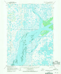
1954 · Baird Inlet C-1
USGS Topo · 1:63,360
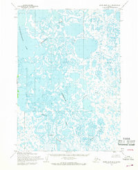
1954 · Baird Inlet D-1
USGS Topo · 1:63,360
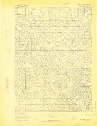
1954 · Baird Inlet C-2
USGS Topo · 1:63,360
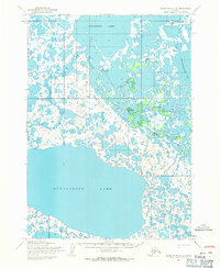
1954 · Baird Inlet D-2
USGS Topo · 1:63,360
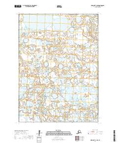
2017 · Baird Inlet C-2 NW
USGS Topo · 1:25,000
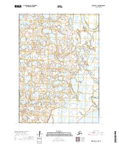
2017 · Baird Inlet C-1 NW
USGS Topo · 1:25,000
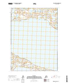
2017 · Baird Inlet D-2 SW
USGS Topo · 1:25,000
2017 · Baird Inlet C-2 NE
USGS Topo · 1:25,000