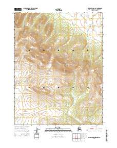
2014 Map of Baird Mountains A-5 SE
USGS Topo · Published 2014About this map
The Kiana Hills dominate this portion of the Baird Mountains A-5 SE quadrangle, rising through a series of steep contours that culminate at Deviation Peak. This high-altitude landscape is defined by its dramatic relief and lack of human infrastructure, representing the pristine state of the Alaskan interior in the early 21st century. The drainage patterns are primary features of this terrain, most notably where Amaouk Cr flows through the southwestern corner of the sheet. The map provides a clear look at the Public Land Survey System divisions, including the boundaries for t20n r12w and t20n r11w, which anchor the vast topographic sections of the Baird Mountains range.
Find a feature on this map
7 named features on this map. Tap any name to fly to it.
Don’t see what you’re looking for? This feature index may not catch every label — zoom into the map to look around manually.
Map Details
Editions of this 2014 Baird Mountains A-5 SE Map
This is the sole edition of this map. No revisions or reprints were ever made.
Other maps of this area

1951 · Baird Mountains
USGS Topo · 1:250,000

1951 · Selawik
USGS Topo · 1:250,000

1955 · Selawik D-4
USGS Topo · 1:63,360

1955 · Selawik D-5
USGS Topo · 1:63,360
1955 · Baird Mountains A-5
USGS Topo · 1:63,360

1955 · Baird Mountains A-4
USGS Topo · 1:63,360

1956 · Baird Mountains
USGS Topo · 1:250,000

1957 · Selawik
USGS Topo · 1:250,000

1965 · Baird Mountains
USGS Topo · 1:250,000
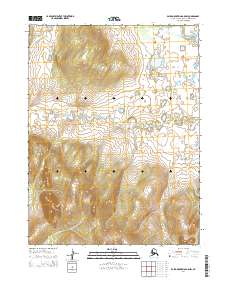
2014 · Baird Mountains A-5 NW
USGS Topo · 1:25,000