
1955 Map of Baird Mountains A-4
USGS Topo · Published 1970About this map
Squirrel River meanders in intricate loops across this mid-century Alaskan landscape, defining the character of the terrain between the Kiana Hills and the northern highlands. The river system is joined by numerous tributaries, including Klery Creek and Timber Creek, creating a vast wetland environment punctuated by countless small ponds and oxbow lakes.
Find a feature on this map
10 named features on this map. Tap any name to fly to it.
Don’t see what you’re looking for? This feature index may not catch every label — zoom into the map to look around manually.
Map Details
Editions of this 1955 Baird Mountains A-4 Map
This is the sole edition of this map. No revisions or reprints were ever made.
Other maps of this area

1951 · Baird Mountains
USGS Topo · 1:250,000

1951 · Selawik
USGS Topo · 1:250,000

1955 · Selawik D-4
USGS Topo · 1:63,360

1955 · Selawik D-5
USGS Topo · 1:63,360

1955 · Selawik D-3
USGS Topo · 1:63,360
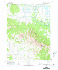
1955 · Baird Mountains A-5
USGS Topo · 1:63,360

1955 · Baird Mountains B-3
USGS Topo · 1:63,360

1955 · Baird Mountains A-3
USGS Topo · 1:63,360
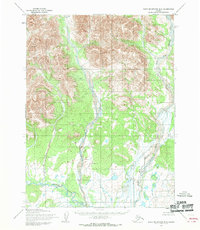
1955 · Baird Mountains B-5
USGS Topo · 1:63,360
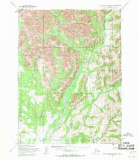
1955 · Baird Mountains B-4
USGS Topo · 1:63,360