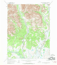
1955 Map of Baird Mountains B-5
USGS Topo · Published 1970About this map
Squirrel River dominates the drainage of this remote Arctic interior landscape, flowing through a series of braided channels and valleys. Captured during a 1955 survey by the Army Map Service, the terrain illustrates the complex hydrological patterns of the western Baird Mountains before modern development. The North Fork Squirrel River joins the main stem amidst a network of gravel bars and shifting waterways, reflecting a wilderness state defined by natural forces rather than human infrastructure. Because these land lines represent unsurveyed and unmarked locations predetermined by the Bureau of Land Management, the map serves as a primary record of the physical topography and water systems as they existed in the mid-twentieth century, free of established roads or trails.
Find a feature on this map
2 named features on this map. Tap any name to fly to it.
Don’t see what you’re looking for? This feature index may not catch every label — zoom into the map to look around manually.
Map Details
Editions of this 1955 Baird Mountains B-5 Map
This is the sole edition of this map. No revisions or reprints were ever made.
Other maps of this area

1951 · Baird Mountains
USGS Topo · 1:250,000
1955 · Baird Mountains A-5
USGS Topo · 1:63,360

1955 · Baird Mountains C-4
USGS Topo · 1:63,360
1955 · Baird Mountains C-5
USGS Topo · 1:63,360
1955 · Baird Mountains A-6
USGS Topo · 1:63,360
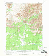
1955 · Baird Mountains B-6
USGS Topo · 1:63,360
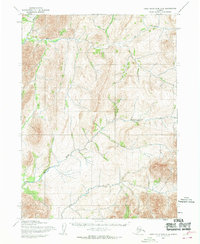
1955 · Baird Mountains C-6
USGS Topo · 1:63,360
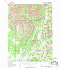
1955 · Baird Mountains B-4
USGS Topo · 1:63,360

1955 · Baird Mountains A-4
USGS Topo · 1:63,360

1956 · Baird Mountains
USGS Topo · 1:250,000