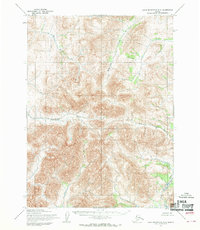
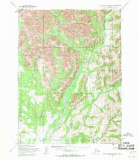
1955 Map of Baird Mountains C-5
USGS Topo · Published 1970About this map
The Agashashok River and the Eli River dominate this 1955 topographic study of the Baird Mountains, revealing a drainage system defined by deep valleys and high mountain ridges. This interior region, mapped via aerial photography by the Army Map Service, contains no established roads or trails, preserving a snapshot of the Northwest Arctic before modern encroachment. The course of the Akikukchiak Creek and the N Fk Squirrel River illustrate the complex watershed of the Kateel River Meridian. Predetermined land lines established by the Bureau of Land Management indicate the early stages of formalizing this wilderness, even while much of the terrain remained unsurveyed and unmarked on the ground.
Find a feature on this map
4 named features on this map. Tap any name to fly to it.
Don’t see what you’re looking for? This feature index may not catch every label — zoom into the map to look around manually.
Map Details
Editions of this 1955 Baird Mountains C-5 Map
This is the sole edition of this map. No revisions or reprints were ever made.
Other maps of this area

1951 · Baird Mountains
USGS Topo · 1:250,000

1955 · Baird Mountains D-4
USGS Topo · 1:63,360

1955 · Baird Mountains D-6
USGS Topo · 1:63,360

1955 · Baird Mountains D-5
USGS Topo · 1:63,360

1955 · Baird Mountains C-4
USGS Topo · 1:63,360
1955 · Baird Mountains B-6
USGS Topo · 1:63,360
1955 · Baird Mountains C-6
USGS Topo · 1:63,360
1955 · Baird Mountains B-5
USGS Topo · 1:63,360
1955 · Baird Mountains B-4
USGS Topo · 1:63,360

1956 · Baird Mountains
USGS Topo · 1:250,000