
1955 Map of Baird Mountains D-4
USGS Topo · Published 1965About this map
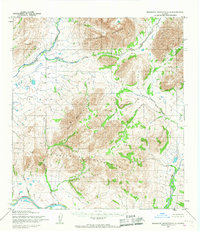
The Noatak River meanders across this Arctic landscape, creating a complex network of oxbow lakes and braided channels that define the central valley. This 1955 survey by the Army Map Service documents a wilderness area where the Isacheluich Mountains rise to the north and the Angayukalik Hills dominate the southeast. The drainage patterns are intricate, with the Kaluktavik River and Nakolik River feeding into the main artery, illustrating the glacial and fluvial forces that have shaped this portion of the Baird Mountains.
Find a feature on this map
9 named features on this map. Tap any name to fly to it.
Don’t see what you’re looking for? This feature index may not catch every label — zoom into the map to look around manually.
Map Details
Editions of this 1955 Baird Mountains D-4 Map
This is the sole edition of this map. No revisions or reprints were ever made.
Other maps of this area

1951 · Baird Mountains
USGS Topo · 1:250,000

1951 · Misheguk Mountain
USGS Topo · 1:250,000

1955 · Baird Mountains D-3
USGS Topo · 1:63,360

1955 · Baird Mountains D-5
USGS Topo · 1:63,360

1955 · Misheguk Mountain A-3
USGS Topo · 1:63,360
1955 · Misheguk Mountain A-4
USGS Topo · 1:63,360

1955 · Baird Mountains C-4
USGS Topo · 1:63,360
1955 · Baird Mountains C-5
USGS Topo · 1:63,360

1955 · Baird Mountains C-3
USGS Topo · 1:63,360

1956 · Misheguk Mountain
USGS Topo · 1:250,000