
1955 Map of Baird Mountains D-3
USGS Topo · Published 1965About this map
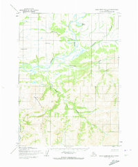
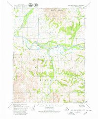
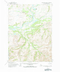
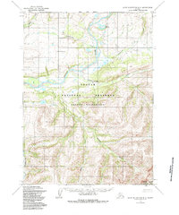
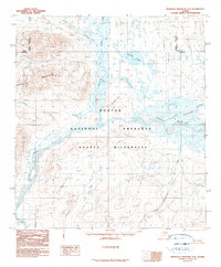
The Noatak River dominates this mid-century landscape in the Northwest Arctic, meandering through a complex network of glacial and alluvial features. This 1955 survey, mapped by the Army Map Service, documents a wilderness area defined by its drainages, including Uyon Lakes and the serpentining Isaoktuvik Creek. The terrain is marked by surveying points such as Noatak East Base and Noatak West Base, which provided the essential control for photogrammetric mapping during this era of Alaskan exploration. To the south, high ground is represented by peaks like Parka, where headwaters for Kanayok Creek and Sapun Creek emerge. The map provides a look at the Kateel River Meridian before modern infrastructure reached this part of the Brooks Range, preserving a record of the intricate waterways like Aklummayuak Creek and Nakolikuruk Creek.
Find a feature on this map
11 named features on this map. Tap any name to fly to it.
Don’t see what you’re looking for? This feature index may not catch every label — zoom into the map to look around manually.
Map Details
Editions of this 1955 Baird Mountains D-3 Map
5 editions found
Other maps of this area

1951 · Baird Mountains
USGS Topo · 1:250,000

1951 · Misheguk Mountain
USGS Topo · 1:250,000

1955 · Baird Mountains D-4
USGS Topo · 1:63,360

1955 · Misheguk Mountain A-3
USGS Topo · 1:63,360

1955 · Baird Mountains C-4
USGS Topo · 1:63,360

1955 · Baird Mountains C-3
USGS Topo · 1:63,360

1956 · Misheguk Mountain
USGS Topo · 1:250,000

1956 · Baird Mountains
USGS Topo · 1:250,000

1965 · Baird Mountains
USGS Topo · 1:250,000
1990 · Misheguk Mountain A-2
USGS Topo · 1:63,360