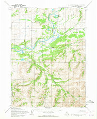
1955 Map of Baird Mountains D-3
USGS Topo · Published 1973About this map
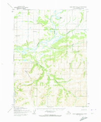
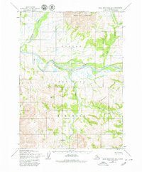
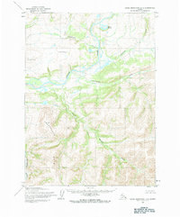
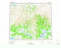
The Noatak River dominates this mid-century survey of the Arctic wilderness, winding through a landscape shaped by glacial action and seasonal drainage. Survey markers like Noatak West Base and Noatak East Base indicate the rigorous photogrammetric methods used by the Army Map Service to document this remote terrain. To the north, the Uyon Lakes and Isaoktuvik Creek feed into the river system, while the southern portion of the sheet is defined by the prominent Angayukalik Hills.
Find a feature on this map
12 named features on this map. Tap any name to fly to it.
Don’t see what you’re looking for? This feature index may not catch every label — zoom into the map to look around manually.
Map Details
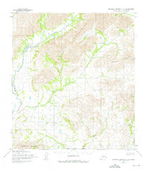
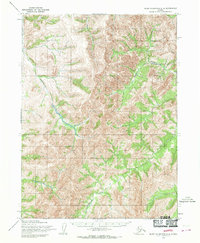
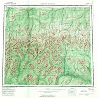
Editions of this 1955 Baird Mountains D-3 Map
5 editions found

Other maps of this area
1951 · Baird Mountains
USGS Topo · 1:250,000

1951 · Misheguk Mountain
USGS Topo · 1:250,000

1955 · Baird Mountains D-4
USGS Topo · 1:63,360
1955 · Baird Mountains D-3
USGS Topo · 1:63,360
1955 · Misheguk Mountain A-3
USGS Topo · 1:63,360

1955 · Baird Mountains C-4
USGS Topo · 1:63,360
1955 · Baird Mountains C-3
USGS Topo · 1:63,360
1956 · Misheguk Mountain
USGS Topo · 1:250,000
1956 · Baird Mountains
USGS Topo · 1:250,000

1965 · Baird Mountains
USGS Topo · 1:250,000