
1955 Map of Baird Mountains D-5
USGS Topo · Published 1965About this map
The Noatak River dominates the northern reaches of this mid-century survey, winding through a complex network of glacial valleys and drainage systems. This landscape is defined by its drainages, including the Akikukchiak Creek and the meandering Maiyumerak Creek, which reveal the hydrological patterns of the Baird Mountains before modern climate shifts. High ground is anchored by the prominent Tututalak Mtn in the south, while further west, Kivivik Creek and Okiotak Creek cut through the terrain. The map's layout, derived from 1955 aerial photography, documents a wilderness area where land lines remained unsurveyed and unmarked at the time of publication, preserving a record of the remote interior's physical geography in the years prior to statehood development.
Find a feature on this map
7 named features on this map. Tap any name to fly to it.
Don’t see what you’re looking for? This feature index may not catch every label — zoom into the map to look around manually.
Map Details
Editions of this 1955 Baird Mountains D-5 Map
This is the sole edition of this map. No revisions or reprints were ever made.
Other maps of this area

1951 · Baird Mountains
USGS Topo · 1:250,000

1951 · Misheguk Mountain
USGS Topo · 1:250,000

1955 · Baird Mountains D-4
USGS Topo · 1:63,360

1955 · Baird Mountains D-6
USGS Topo · 1:63,360

1955 · Misheguk Mountain A-5
USGS Topo · 1:63,360
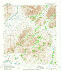
1955 · Misheguk Mountain A-4
USGS Topo · 1:63,360

1955 · Baird Mountains C-4
USGS Topo · 1:63,360
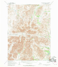
1955 · Baird Mountains C-5
USGS Topo · 1:63,360
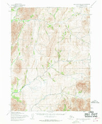
1955 · Baird Mountains C-6
USGS Topo · 1:63,360

1956 · Misheguk Mountain
USGS Topo · 1:250,000