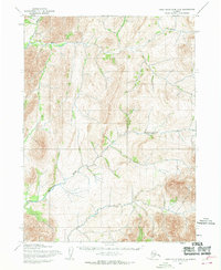
1955 Map of Baird Mountains C-6
USGS Topo · Published 1970About this map
The Eli River flows through the northern reaches of this Alaskan wilderness, marking a landscape of significant relief and complex drainage. Mapped by the Army Map Service in the mid-1950s using photogrammetric methods, this quadrangle documents a remote terrain defined by its watercourses rather than human infrastructure. In the southern half, the Agashashok River winds through the topography, while Ahaliknak Creek cuts through the northwest corner. The map reveals the intricate contouring of the Baird Mountains during an era of aerial survey and reconnaissance, providing a record of the natural geography before modern environmental shifts or land-use changes.
Find a feature on this map
3 named features on this map. Tap any name to fly to it.
Don’t see what you’re looking for? This feature index may not catch every label — zoom into the map to look around manually.
Map Details
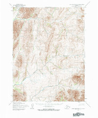
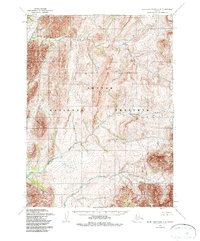
Editions of this 1955 Baird Mountains C-6 Map
3 editions found
Other maps of this area

1951 · Baird Mountains
USGS Topo · 1:250,000

1951 · Noatak
USGS Topo · 1:250,000

1955 · Noatak
USGS Topo · 1:250,000

1955 · Noatak D-1
USGS Topo · 1:63,360

1955 · Baird Mountains D-6
USGS Topo · 1:63,360

1955 · Baird Mountains D-5
USGS Topo · 1:63,360

1955 · Noatak C-1
USGS Topo · 1:63,360
1955 · Baird Mountains C-5
USGS Topo · 1:63,360
1955 · Baird Mountains B-6
USGS Topo · 1:63,360
1955 · Baird Mountains B-5
USGS Topo · 1:63,360