
1955 Map of Noatak D-1
USGS Topo · Published 1964About this map
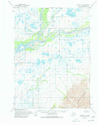
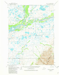
The Noatak River dominates this mid-1950s interior landscape, meandering through a complex network of braided channels and seasonal wetlands. Situated in the Arctic northwest, this environment is characterized by the confluence where the Kelly River joins the main waterway from the north. A single Cabin stands as the only named structure in the vast river valley, indicating the sparse seasonal occupation typical of the era. To the southeast, the terrain rises sharply into the Maiyumerak Mountains, providing a stark contrast to the low-lying basin of Lake Tagakvik and the surrounding tundra. The map traces the natural drainage patterns of smaller tributaries like Uvgoon and an unnamed Creek, illustrating the hydrological complexity of the Noatak basin before modern disturbances. This survey provides a primary record of the region's wilderness character and early-century land use.
Find a feature on this map
7 named features on this map. Tap any name to fly to it.
Don’t see what you’re looking for? This feature index may not catch every label — zoom into the map to look around manually.
Map Details
Editions of this 1955 Noatak D-1 Map
3 editions found
Other maps of this area

1951 · De Long Mountains
USGS Topo · 1:250,000

1951 · Baird Mountains
USGS Topo · 1:250,000

1951 · Noatak
USGS Topo · 1:250,000

1951 · Misheguk Mountain
USGS Topo · 1:250,000

1955 · Noatak
USGS Topo · 1:250,000

1955 · De Long Mountains
USGS Topo · 1:250,000

1955 · Noatak D-2
USGS Topo · 1:63,360

1955 · Baird Mountains D-6
USGS Topo · 1:63,360

1955 · Misheguk Mountain A-5
USGS Topo · 1:63,360

1955 · De Long Mountains A-1
USGS Topo · 1:63,360