
1955 Map of Noatak C-1
USGS Topo · Published 1970About this map
The Maiyumerak Mountains dominate the northeastern reaches of this landscape, giving way to a complex network of braided waterways and tundra. This 1950s aerial photogrammetric study by the Army Map Service details the winding course of the Eli River as it traverses the northwestern flats toward a coastal Lagoon. To the southeast, the Agashashok River cuts through the high relief of the interior, reflecting a wilderness region prior to modern development. The map reveals the stark transition between the high peaks of the Maiyumerak Mountains and the low-lying wetlands, illustrating the drainage patterns that define this Arctic environment.
Find a feature on this map
4 named features on this map. Tap any name to fly to it.
Don’t see what you’re looking for? This feature index may not catch every label — zoom into the map to look around manually.
Map Details
Editions of this 1955 Noatak C-1 Map
This is the sole edition of this map. No revisions or reprints were ever made.
Other maps of this area

1951 · Baird Mountains
USGS Topo · 1:250,000

1951 · Noatak
USGS Topo · 1:250,000

1955 · Noatak
USGS Topo · 1:250,000

1955 · Noatak D-1
USGS Topo · 1:63,360

1955 · Noatak D-2
USGS Topo · 1:63,360

1955 · Baird Mountains D-6
USGS Topo · 1:63,360

1955 · Noatak C-2
USGS Topo · 1:63,360
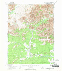
1955 · Baird Mountains B-6
USGS Topo · 1:63,360
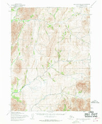
1955 · Baird Mountains C-6
USGS Topo · 1:63,360

1955 · Noatak B-2
USGS Topo · 1:63,360