
1955 Map of Noatak C-2
USGS Topo · Published 1969About this map
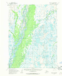
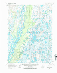
Noatak sits at the heart of this mid-century survey, positioned along the banks of the mighty Noatak River. The landscape is dominated by the intricate branching of river channels and braided streams, particularly where the Eli River flows from the east to join the main waterway. The mapping captured in the 1950s illustrates a wilderness environment where human infrastructure was limited to the essential Landing Strip serving the local settlement. The topographic detail reveals a complex network of seasonal wetlands and drainage systems, including Kuchatna Creek and Kugururok Creek, which define the low-lying terrain of the Northwest Arctic. This map serves as a primary record of the region's geography before significant modern changes, reflecting the isolation and environmental character of this northern river valley.
Find a feature on this map
6 named features on this map. Tap any name to fly to it.
Don’t see what you’re looking for? This feature index may not catch every label — zoom into the map to look around manually.
Map Details
Editions of this 1955 Noatak C-2 Map
3 editions found
Other maps of this area

1951 · Noatak
USGS Topo · 1:250,000

1955 · Noatak
USGS Topo · 1:250,000

1955 · Noatak D-1
USGS Topo · 1:63,360

1955 · Noatak D-3
USGS Topo · 1:63,360

1955 · Noatak D-2
USGS Topo · 1:63,360

1955 · Noatak B-3
USGS Topo · 1:63,360

1955 · Noatak C-1
USGS Topo · 1:63,360

1955 · Noatak C-3
USGS Topo · 1:63,360

1955 · Noatak B-2
USGS Topo · 1:63,360
1955 · Noatak B-1
USGS Topo · 1:63,360