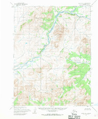
1955 Map of Noatak B-1
USGS Topo · Published 1970About this map
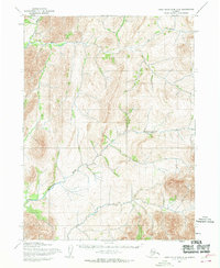
Asik Mountain dominates the northwestern corner of this mid-century Alaskan interior landscape, part of a terrain defined by high ridges and complex drainage systems. The Agashashok River cuts a prominent north-south course through the center of the sheet, characterized by a braided channel that suggests a dynamic, high-energy waterway through the mountain passes. To the south, the Igichuk Hills rise above the southern drainage basin where Knapp Creek flows toward the southwest.
Find a feature on this map
4 named features on this map. Tap any name to fly to it.
Don’t see what you’re looking for? This feature index may not catch every label — zoom into the map to look around manually.
Map Details
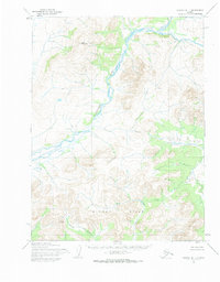
Editions of this 1955 Noatak B-1 Map
2 editions found
Other maps of this area

1951 · Baird Mountains
USGS Topo · 1:250,000

1951 · Noatak
USGS Topo · 1:250,000

1955 · Noatak
USGS Topo · 1:250,000

1955 · Noatak C-2
USGS Topo · 1:63,360

1955 · Noatak C-1
USGS Topo · 1:63,360
1955 · Baird Mountains A-6
USGS Topo · 1:63,360
1955 · Baird Mountains B-6
USGS Topo · 1:63,360
1955 · Baird Mountains C-6
USGS Topo · 1:63,360

1955 · Noatak B-2
USGS Topo · 1:63,360
1955 · Noatak A-1
USGS Topo · 1:63,360