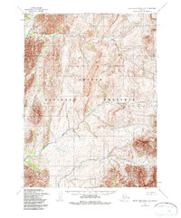
1955 Map of Baird Mountains C-6
USGS Topo · Published 1985About this map
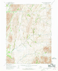
Eli River and the Agashashok River wind through this remote arctic wilderness, carving deep drainages into the northern landscape. This 1955 survey, which underwent minor revisions in 1984, documents the vast, roadless territory long before the establishment of modern boundaries. The map reflects a landscape defined by natural waterways and dramatic elevation changes, eventually protected under the Noatak National Preserve. Mapped primarily through photogrammetric methods from aerial photography taken in the mid-1950s, the terrain remains unmarred by permanent settlements or industrial infrastructure. It serves as a primary record of the hydrological patterns and topographic contours of the Baird Mountains region during the mid-20th century, providing an essential look at the area's geography before the implementation of the Alaska National Interest Lands Conservation Act.
Find a feature on this map
4 named features on this map. Tap any name to fly to it.
Don’t see what you’re looking for? This feature index may not catch every label — zoom into the map to look around manually.
Map Details
Editions of this 1955 Baird Mountains C-6 Map
3 editions found
Other maps of this area

1951 · Baird Mountains
USGS Topo · 1:250,000

1951 · Noatak
USGS Topo · 1:250,000

1955 · Noatak
USGS Topo · 1:250,000

1955 · Noatak D-1
USGS Topo · 1:63,360

1955 · Baird Mountains D-6
USGS Topo · 1:63,360

1955 · Baird Mountains D-5
USGS Topo · 1:63,360

1955 · Noatak C-1
USGS Topo · 1:63,360
1955 · Baird Mountains C-5
USGS Topo · 1:63,360
1955 · Baird Mountains B-6
USGS Topo · 1:63,360
1955 · Baird Mountains C-6
USGS Topo · 1:63,360