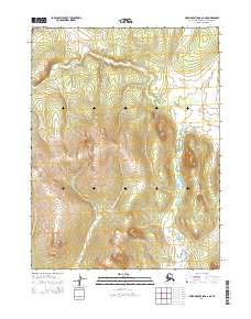
2014 Map of Baird Mountains A-6 NE
USGS Topo · Published 2014About this map
The northern slopes of the Baird Mountains come into focus in this topographic study, which centers on the intersection of several key public land survey townships. The landscape is defined by its dramatic relief, where the surveying boundaries of T21n R14w, T21n R13w, T20n R14w, and T20n R13w meet amidst high elevation contours. This area of the Northwest Arctic Borough is largely devoid of named human settlements, instead highlighting the raw topography of the Alaskan interior as documented by the U.S. Geological Survey using modern imagery and elevation datasets. The map provides a clear look at the drainage patterns and ridge lines that dictate travel and survival in this high-latitude environment.
Find a feature on this map
4 named features on this map. Tap any name to fly to it.
Don’t see what you’re looking for? This feature index may not catch every label — zoom into the map to look around manually.
Map Details
Editions of this 2014 Baird Mountains A-6 NE Map
This is the sole edition of this map. No revisions or reprints were ever made.
Other maps of this area

1951 · Baird Mountains
USGS Topo · 1:250,000
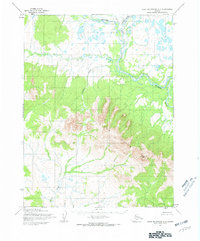
1955 · Baird Mountains A-5
USGS Topo · 1:63,360
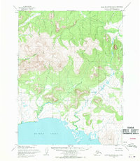
1955 · Baird Mountains A-6
USGS Topo · 1:63,360
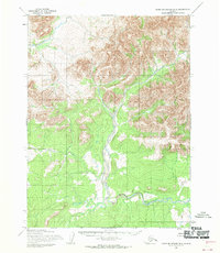
1955 · Baird Mountains B-6
USGS Topo · 1:63,360
1955 · Baird Mountains B-5
USGS Topo · 1:63,360

1956 · Baird Mountains
USGS Topo · 1:250,000

1965 · Baird Mountains
USGS Topo · 1:250,000
2014 · Baird Mountains A-6 SE
USGS Topo · 1:25,000
2014 · Baird Mountains A-5 NW
USGS Topo · 1:25,000
2014 · Baird Mountains B-6 SE
USGS Topo · 1:25,000