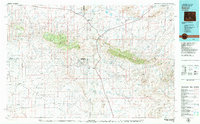
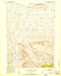
1979 Map of Bairoil
USGS Topo · Published 1980About this map
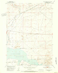
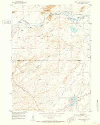
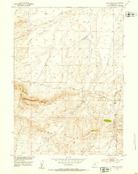
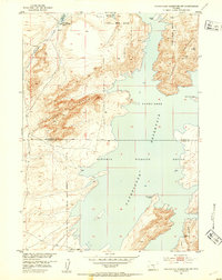
Green Mountain and the Ferris Mountains dominate this high-desert landscape in south-central Wyoming, where the drainage patterns of Crooks Creek and Lost Soldier Creek define the local topography. This 1970s survey captures the region's isolated settlement pattern, centered on the oil and mining outposts of Bairoil and Jeffrey City. The map reveals a specialized industrial landscape, showing the location of the Sunday Morning Mine, Bradley Mine, and several local infrastructure markers like the Landing Strip near Jeffrey City.
Find a feature on this map
49 named features on this map. Tap any name to fly to it.
Don’t see what you’re looking for? This feature index may not catch every label — zoom into the map to look around manually.
Map Details
Editions of this 1979 Bairoil Map
This is the sole edition of this map. No revisions or reprints were ever made.
Other maps of this area
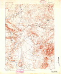
1893 · Fort Steele
USGS Topo · 1:125,000
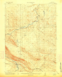
1914 · Walcott
USGS Topo · 1:62,500
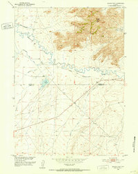
1951 · Savage Peak
USGS Topo · 1:24,000
1951 · Benton Basin SW
USGS Topo · 1:24,000
1951 · Bucklin Reservoirs
USGS Topo · 1:24,000
1951 · Soap Holes
USGS Topo · 1:24,000
1951 · Pathfinder Reservoir NW
USGS Topo · 1:24,000
1951 · Crooks Creek NE
USGS Topo · 1:24,000
1951 · Independence Rock
USGS Topo · 1:24,000
1951 · Stampede Meadow
USGS Topo · 1:24,000