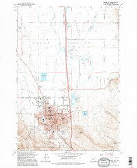
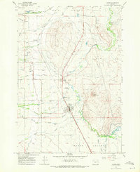
1994 Map of Baker City
USGS Topo · Published 1994About this map
Baker City serves as the focal point of this Eastern Oregon survey, where the urban grid meets the agricultural expanse of the Baker Valley. The town's institutional infrastructure is densely mapped, featuring several local educational landmarks such as North Baker Sch and Brooklyn Sch, alongside the Baker Correctional Facility. The surrounding landscape is defined by the winding course of the Powder River and a network of irrigation and drainage channels including Estes Slough and Baldock Slough.
Find a feature on this map
45 named features on this map. Tap any name to fly to it.
Don’t see what you’re looking for? This feature index may not catch every label — zoom into the map to look around manually.
Map Details
Editions of this 1994 Baker City Map
This is the sole edition of this map. No revisions or reprints were ever made.
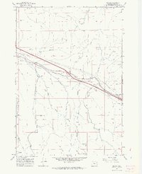
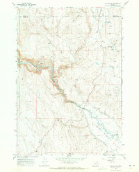
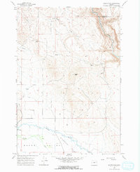
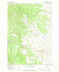
Other maps of this area

1901 · Baker City
USGS Topo · 1:125,000

1955 · Baker
USGS Topo · 1:250,000

1959 · Baker
USGS Topo · 1:250,000

1967 · Virtue Flat
USGS Topo · 1:24,000
1967 · Encina
USGS Topo · 1:24,000
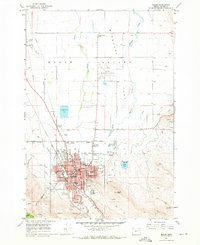
1967 · Baker
USGS Topo · 1:24,000
1967 · Keating NW
USGS Topo · 1:24,000
1967 · Haines
USGS Topo · 1:24,000
1967 · Magpie Peak
USGS Topo · 1:24,000
1967 · Blue Canyon
USGS Topo · 1:24,000