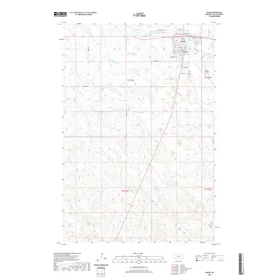
2020 Map of Baker
USGS Topo · Published 2020About this map
Baker serves as the focal point of this eastern Montana survey, situated where the high plains are carved by a network of seasonal watercourses. The town's layout is anchored by the Fallon County Courthouse and the local Po, with the residential streets of Fairway Acres expanding to the south. Historically significant landmarks such as Saint John Cem and Lake Baker reflect the community's long-standing roots in this portion of Fallon County.
Find a feature on this map
33 named features on this map. Tap any name to fly to it.
Don’t see what you’re looking for? This feature index may not catch every label — zoom into the map to look around manually.
Map Details
Editions of this 2020 Baker Map
This is the sole edition of this map. No revisions or reprints were ever made.
Other maps of this area

1953 · Miles City
USGS Topo · 1:250,000

1957 · Miles City
USGS Topo · 1:250,000

1958 · Miles City
USGS Topo · 1:250,000

1981 · Webster NW
USGS Topo · 1:24,000

1981 · Baker
USGS Topo · 1:100,000

1981 · Baker NE
USGS Topo · 1:24,000

1981 · Buffalo Reservoir
USGS Topo · 1:24,000

1981 · Baker
USGS Topo · 1:24,000

1981 · South Sandstone Reservoir
USGS Topo · 1:24,000

1981 · Willard
USGS Topo · 1:24,000