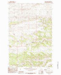
1985 Map of Bakers Spring
USGS Topo · Published 1985About this map
Flying V Crossing serves as a focal point in this 1980s landscape of Fergus County, where the high prairie begins to break into complex drainages and elevation changes. The map reveals a transition from the elevated Peck Hills down into a network of seasonal and perennial watercourses that define the region's ranching potential. Numerous water sources are documented, from the namesake Bakers Spring to the mineral-rich Sulphur Spr, reflecting the vital importance of dependable water in the Central Montana range.
Find a feature on this map
9 named features on this map. Tap any name to fly to it.
Don’t see what you’re looking for? This feature index may not catch every label — zoom into the map to look around manually.
Map Details
Editions of this 1985 Bakers Spring Map
This is the sole edition of this map. No revisions or reprints were ever made.
Other maps of this area

1943 · Landusky
USGS Topo · 1:125,000

1954 · Baker Monument
USGS Topo · 1:24,000

1954 · Lewistown
USGS Topo · 1:250,000

1959 · Lewistown
USGS Topo · 1:250,000

1978 · Lewistown
USGS Topo · 1:100,000

1984 · Zortman
USGS Topo · 1:100,000

1985 · The Horse Ranch
USGS Topo · 1:24,000

1985 · Thompson Coulee
USGS Topo · 1:24,000

1985 · Woodhawk Hill
USGS Topo · 1:24,000
1985 · Roy NW
USGS Topo · 1:24,000