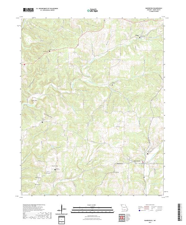
2021 Map of Bakersfield
USGS Topo · Published 2021About this map
Bakersfield serves as a primary hub in this corner of Ozark County, where the landscape is defined by an intricate network of ridges and hollows. The terrain transitions from the heights of Hawkins Ridge and Paint Ridge down into deep drainage cuts like Wolf Hollow and Petty Hollow. This geography has historically dictated the placement of small rural communities and their respective burial grounds, such as Elijah to the north and the cluster of Hawkins Ridge Cemetery and Fore Cemetery near the southern settlement.
Find a feature on this map
89 named features on this map. Tap any name to fly to it.
Don’t see what you’re looking for? This feature index may not catch every label — zoom into the map to look around manually.
Map Details
Editions of this 2021 Bakersfield Map
This is the sole edition of this map. No revisions or reprints were ever made.
Other maps of this area

1890 · Mountain Home
USGS Topo · 1:125,000

1891 · Mountain Home
USGS Topo · 1:125,000

1894 · Mountain Home
USGS Topo · 1:125,000

1934 · Gainesville
USGS Topo · 1:48,000

1940 · Gainesville
USGS Topo · 1:62,500

1944 · Cureall
USGS Topo · 1:62,500

1945 · Harrison
USGS Topo · 1:250,000

1946 · Cureall
USGS Topo · 1:62,500

1949 · Harrison
USGS Topo · 1:250,000

1954 · Harrison
USGS Topo · 1:250,000