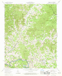
1960 Map of Bakersville
USGS Topo · Published 1962About this map
Bakersville serves as the focal point of this mountain landscape, situated where Cane Creek meets the North Toe River. In the early 1960s, the town's social structure is anchored by Bowman High Sch and several local congregations, including Bethlehem Ch and Russ Memorial Church. To the west, the winding waters of the North Toe River define the boundary between Mitchell and Yancey counties, passing through the curiously named settlement of Loafers Glory and the riverside stop at Toecane.
Find a feature on this map
105 named features on this map. Tap any name to fly to it.
Don’t see what you’re looking for? This feature index may not catch every label — zoom into the map to look around manually.
Map Details
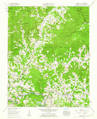
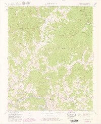
Editions of this 1960 Bakersville Map
3 editions found
Other maps of this area

1891 · Roan Mountain
USGS Topo · 1:125,000

1894 · Roan Mountain
USGS Topo · 1:125,000

1900 · Mount Mitchell
USGS Topo · 1:125,000

1902 · Mount Mitchell
USGS Topo · 1:125,000

1904 · Roan Mountain
USGS Topo · 1:125,000

1934 · Micaville
USGS Topo · 1:24,000

1934 · Spruce Pine
USGS Topo · 1:24,000

1934 · White Rocks Mtn
USGS Topo · 1:24,000

1934 · Bakersville
USGS Topo · 1:24,000

1934 · Iron Mtn Gap
USGS Topo · 1:24,000