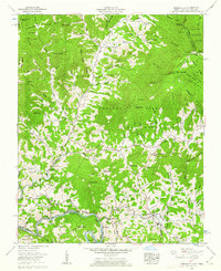
1960 Map of Bakersville
USGS Topo · Published 1969About this map
Bakersville serves as the focal point of this Mitchell County study, situated at the confluence of Cane Creek and White Oak Creek. The landscape is defined by the steep rises of Roan Mountain and Fork Mountain, where high-altitude landmarks like Roan High Bluff and Eagle Cliff overlook the deep valleys of the Pisgah National Forest. The settlement pattern reflects the topographic constraints of the Appalachian interior, with community life centered around small gaps and coves. Local genealogists will find an exceptional concentration of family-named landmarks, including the McKinney Cove and Gouge Cove areas. The map details a network of rural education and worship, from Middle District Sch in the north to Bowman High Sch near the county seat, alongside numerous hillside cemeteries like McKinney Cove Cem and Green Young Cem that mark the established family plots of the region.
Find a feature on this map
102 named features on this map. Tap any name to fly to it.
Don’t see what you’re looking for? This feature index may not catch every label — zoom into the map to look around manually.
Map Details
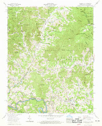
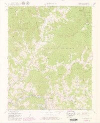
Editions of this 1960 Bakersville Map
3 editions found
Other maps of this area

1891 · Roan Mountain
USGS Topo · 1:125,000

1894 · Roan Mountain
USGS Topo · 1:125,000

1900 · Mount Mitchell
USGS Topo · 1:125,000

1902 · Mount Mitchell
USGS Topo · 1:125,000

1904 · Roan Mountain
USGS Topo · 1:125,000

1934 · Micaville
USGS Topo · 1:24,000

1934 · Spruce Pine
USGS Topo · 1:24,000

1934 · White Rocks Mtn
USGS Topo · 1:24,000

1934 · Bakersville
USGS Topo · 1:24,000

1934 · Iron Mtn Gap
USGS Topo · 1:24,000