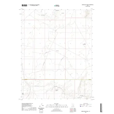
2020 Map of Baking Skillet Knoll
USGS Topo · Published 2020About this map
The Burr Desert dominates this arid landscape where Garfield and Wayne counties meet. This 2020 edition reveals a complex network of canyons and washes, most notably Poison Spring Canyon and the winding Butler Wash to the south. The terrain is marked by distinctive formations like the eponymous Baking Skillet Knoll and Adobe Swale, while water sources such as Pool Spring and Dell Seep indicate the vital locations where moisture was historically found in this dry country. Backcountry access is documented through utilitarian routes like Water Tank Rd and Dell Seep Cutoff Rd, which cut across the high desert to serve cattle tanks and oil well sites. This modern topographic study preserves the essential nomenclature of a region defined by its hydrography and its role as a remote borderland.
Find a feature on this map
18 named features on this map. Tap any name to fly to it.
Don’t see what you’re looking for? This feature index may not catch every label — zoom into the map to look around manually.
Map Details
Editions of this 2020 Baking Skillet Knoll Map
This is the sole edition of this map. No revisions or reprints were ever made.
Other maps of this area

1885 · San Rafael
USGS Topo · 1:250,000

1952 · Orange Cliffs 3 SW
USGS Topo · 1:24,000

1952 · Mount Ellen 4 SW
USGS Topo · 1:24,000

1952 · Mt. Ellen 4 NW
USGS Topo · 1:24,000

1952 · Bull Mountain
USGS Topo · 1:62,500

1953 · Orange Cliffs 3 NW
USGS Topo · 1:24,000

1953 · Fiddler Butte
USGS Topo · 1:62,500

1954 · Mt. Ellen 1 SW
USGS Topo · 1:24,000

1956 · Salina
USGS Topo · 1:250,000

1960 · Salina
USGS Topo · 1:250,000