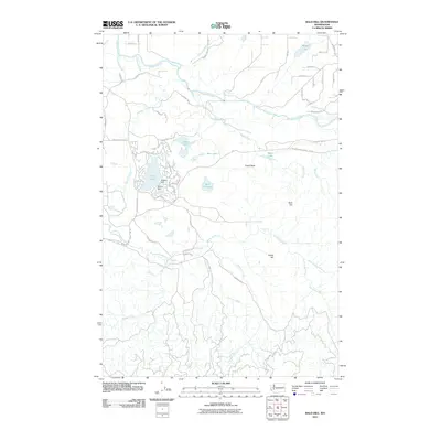
2011 Map of Bald Hill
USGS Topo · Published 2011About this map
The Nisqually River and Deschutes River both traverse this landscape, illustrating the complex hydrology near the southern reaches of the Puget Sound region. In the northwestern corner, residential developments are clustered around the shores of Clear Lake, where two small structures, Muskrat Dam and Beaver Dam, manage the local water levels. This area is characterized by a mix of wooded highlands and riparian corridors, with prominent elevations such as Bald Hill and Green Hill providing a backdrop to the numerous creeks and marshes. Notable landmarks like Fossil Rock suggest the geologically diverse nature of the terrain. The network of logging and access roads, including the Weyerhaeuser Truck Rd SE, indicates the importance of the timber industry and forest management in this part of Washington.
Find a feature on this map
57 named features on this map. Tap any name to fly to it.
Don’t see what you’re looking for? This feature index may not catch every label — zoom into the map to look around manually.
Map Details
Editions of this 2011 Bald Hill Map
This is the sole edition of this map. No revisions or reprints were ever made.
Other maps of this area

1916 · Chehalis
USGS Topo · 1:125,000

1937 · Eatonville
USGS Topo · 1:125,000

1941 · Tanwax Lake
USGS Topo · 1:62,500

1943 · Willapa
USGS Topo · 1:62,500

1944 · Yelm
USGS Topo · 1:62,500

1944 · Ohop Valley
USGS Topo · 1:62,500

1949 · Ohop Valley
USGS Topo · 1:62,500

1949 · Yelm
USGS Topo · 1:62,500

1953 · Hoquiam
USGS Topo · 1:250,000

1954 · Onalaska
USGS Topo · 1:62,500