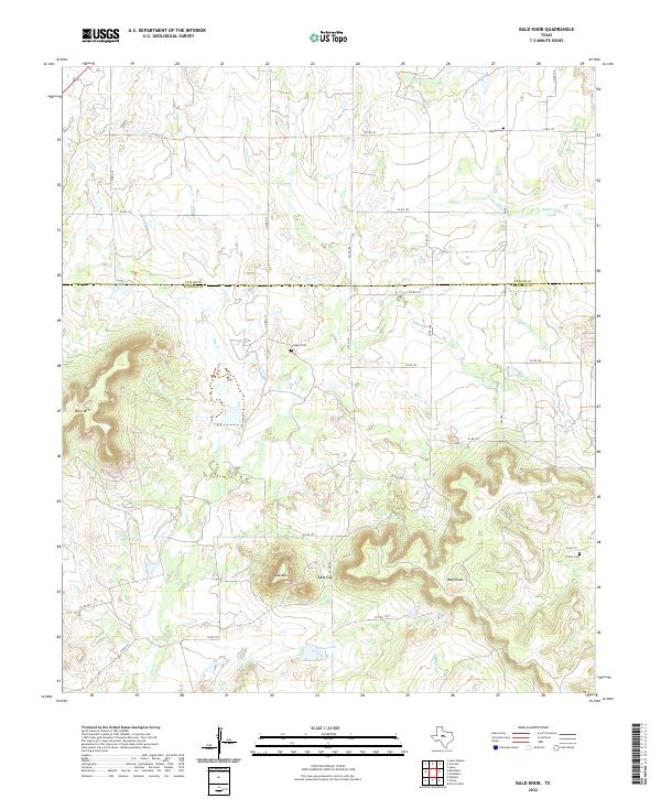
2022 Map of Bald Knob
USGS Topo · Published 2022About this map
The rolling ranchlands of the Taylor and Runnels County line are defined by a series of prominent topographic rises, including the isolated peak of Bald Knob and the broad plateau of Table Mtn. These features, along with Moro Mtn, provide a significant vertical contrast to the surrounding plains and drainage basins of Elm Cr and Buffalo Cr. The network of local county roads, such as Co RD 175 and Co RD 178, connects scattered agricultural properties and small family burial sites.
Find a feature on this map
31 named features on this map. Tap any name to fly to it.
Don’t see what you’re looking for? This feature index may not catch every label — zoom into the map to look around manually.
Map Details
Editions of this 2022 Bald Knob Map
This is the sole edition of this map. No revisions or reprints were ever made.
Other maps of this area

1890 · Abilene
USGS Topo · 1:125,000

1892 · Abilene
USGS Topo · 1:125,000

1892 · Ballinger
USGS Topo · 1:125,000

1954 · Brownwood
USGS Topo · 1:250,000

1954 · Abilene
USGS Topo · 1:250,000

1958 · Abilene
USGS Topo · 1:250,000

1967 · Novice West
USGS Topo · 1:24,000

1967 · Tuscola
USGS Topo · 1:24,000
1967 · Lake Abilene
USGS Topo · 1:24,000
1967 · Lawn
USGS Topo · 1:24,000