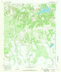
1967 Map of Lake Abilene
USGS Topo · Published 1970About this map
Lake Abilene dominates the northern reaches of this Taylor County landscape, serving as a primary water resource just south of the city. The area shows a distinct divide between the recreation-focused terrain of Abilene State Park and Camp Tonkawa, and the industrial character of the southern hills. An expansive Oil Field is marked by numerous Oil Wells, particularly concentrated around the drainage of Elomont Creek and Flag Creek.
Find a feature on this map
37 named features on this map. Tap any name to fly to it.
Don’t see what you’re looking for? This feature index may not catch every label — zoom into the map to look around manually.
Map Details
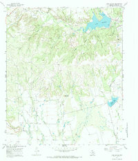
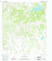
Editions of this 1967 Lake Abilene Map
3 editions found
Other maps of this area

1890 · Abilene
USGS Topo · 1:125,000

1892 · Abilene
USGS Topo · 1:125,000

1893 · Sweetwater
USGS Topo · 1:125,000

1954 · Big Spring
USGS Topo · 1:250,000

1954 · Abilene
USGS Topo · 1:250,000

1957 · Merkel
USGS Topo · 1:62,500

1957 · Buffalo Gap
USGS Topo · 1:62,500

1958 · Big Spring
USGS Topo · 1:250,000

1958 · Abilene
USGS Topo · 1:250,000
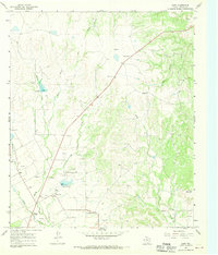
1967 · Shep
USGS Topo · 1:24,000