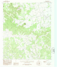
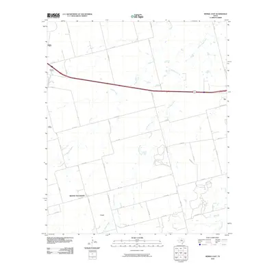
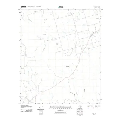
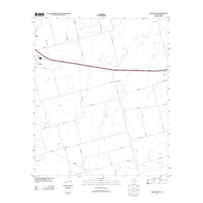
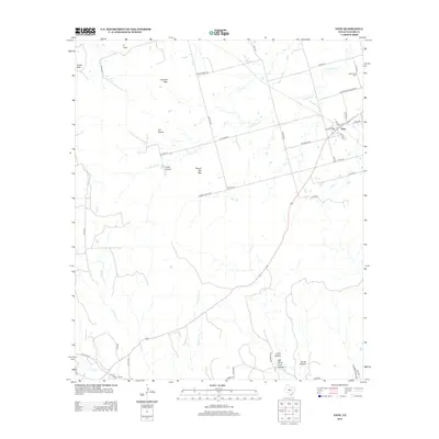
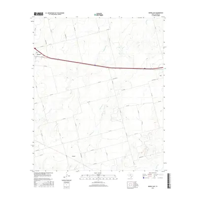
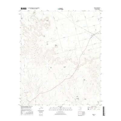
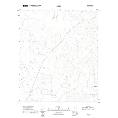
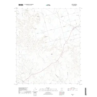
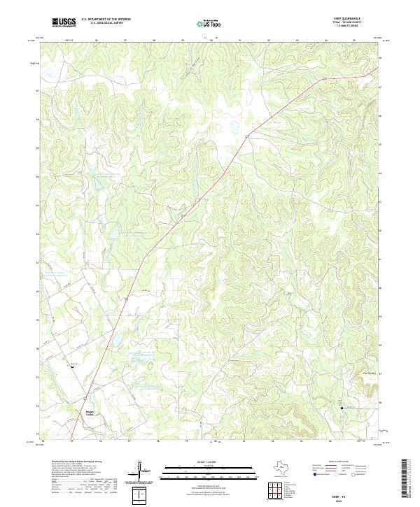
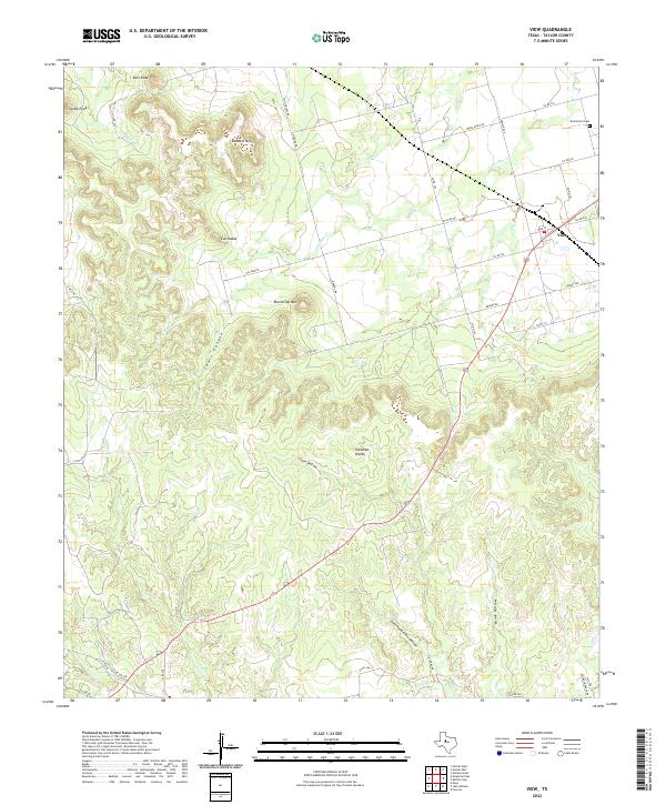
1967 Map of Shep
USGS Topo · Published 1987About this map
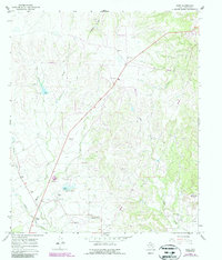
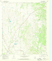
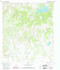
Shep and the nearby community of Happy Valley anchor this West Texas landscape, which is defined by a dense network of watercourses including Spring Creek and the various forks of Cottonwood Creek. The 1967 survey, updated in the 1980s, reveals a rural economy centered on resource extraction and livestock, evidenced by numerous Gravel Pits, a prominent Pumping Sta, and a system of pipelines traversing the terrain.
Find a feature on this map
21 named features on this map. Tap any name to fly to it.
Don’t see what you’re looking for? This feature index may not catch every label — zoom into the map to look around manually.
Map Details
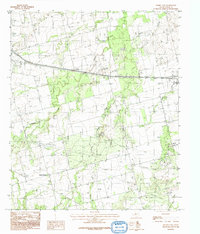
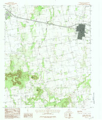
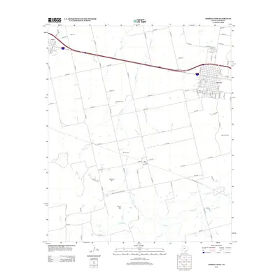
Editions of this 1967 Shep Map
2 editions found
Historical Maps of Shep Through Time
48 maps found
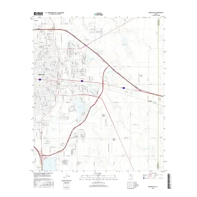
1957 Abilene East
Taylor County, TX
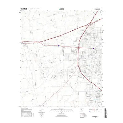
1957 Abilene West
Taylor County, TX
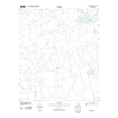
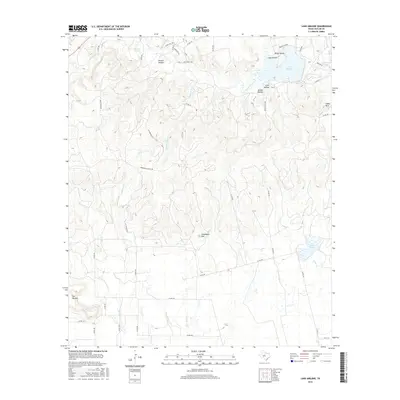
1967 Lake Abilene
Taylor County, TX
1967 Shep
Taylor County, TX
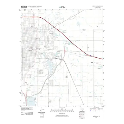
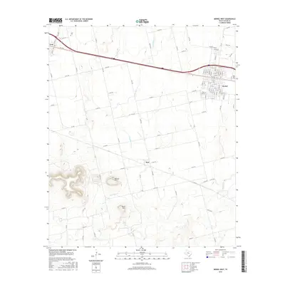
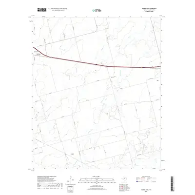
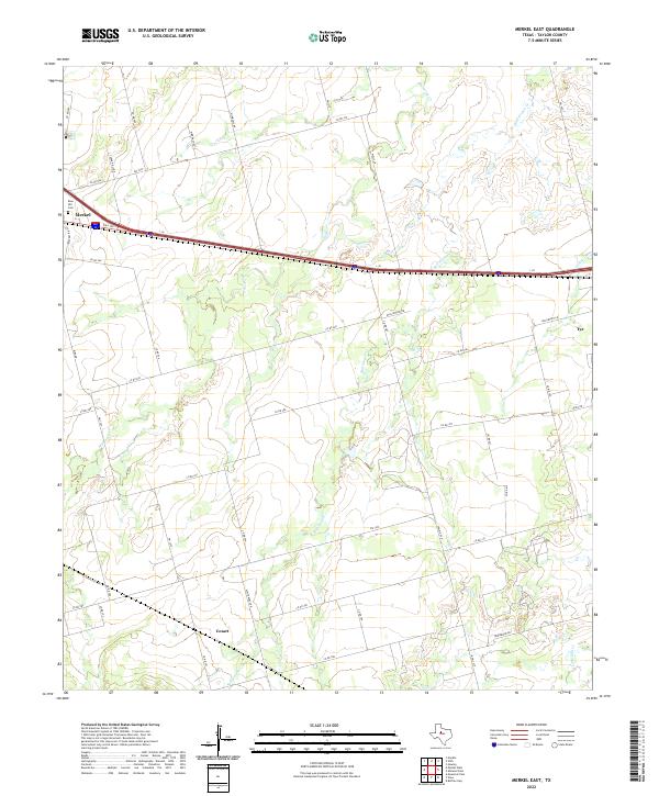
1984 Merkel East
Taylor County, TX
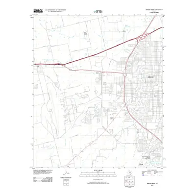
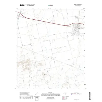
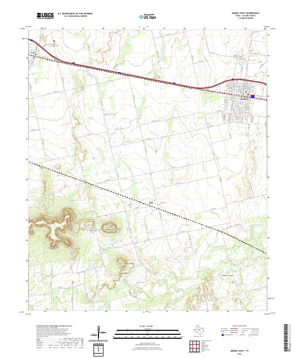
1984 Merkel West
Taylor County, TX
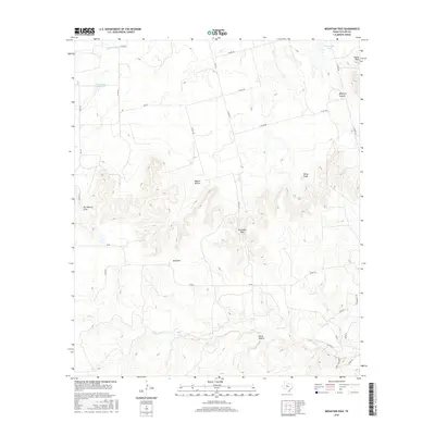
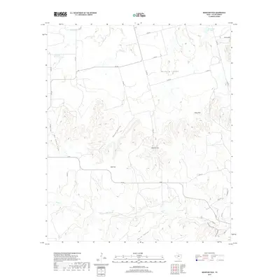
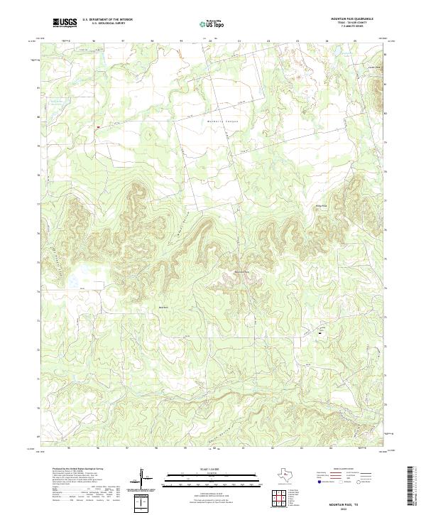
1984 Mountain Pass
Taylor County, TX
1984 View
Taylor County, TX
2010 Abilene East
Taylor County, TX
2010 Abilene West
Taylor County, TX
2010 Lake Abilene
Taylor County, TX
2010 Merkel East
Taylor County, TX
2010 Merkel West
Taylor County, TX
2010 Mountain Pass
Taylor County, TX
2010 Shep
Taylor County, TX
2010 View
Taylor County, TX
2012 Abilene East
Taylor County, TX
2012 Abilene West
Taylor County, TX
2012 Lake Abilene
Taylor County, TX
2012 Merkel East
Taylor County, TX
2012 Merkel West
Taylor County, TX
2012 Mountain Pass
Taylor County, TX
2012 Shep
Taylor County, TX
2012 View
Taylor County, TX
2016 Abilene East
Taylor County, TX
2016 Abilene West
Taylor County, TX
2016 Lake Abilene
Taylor County, TX
2016 Merkel East
Taylor County, TX
2016 Merkel West
Taylor County, TX
2016 Mountain Pass
Taylor County, TX
2016 Shep
Taylor County, TX
2016 View
Taylor County, TX
2019 Abilene East
Taylor County, TX
2019 Abilene West
Taylor County, TX
2019 Lake Abilene
Taylor County, TX
2019 Merkel East
Taylor County, TX
2019 Merkel West
Taylor County, TX
2019 Mountain Pass
Taylor County, TX
2019 Shep
Taylor County, TX
2019 View
Taylor County, TX
2022 Abilene East
Taylor County, TX
2022 Abilene West
Taylor County, TX
2022 Lake Abilene
Taylor County, TX
2022 Merkel East
Taylor County, TX
2022 Merkel West
Taylor County, TX
2022 Mountain Pass
Taylor County, TX
2022 Shep
Taylor County, TX
2022 View
Taylor County, TX