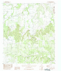
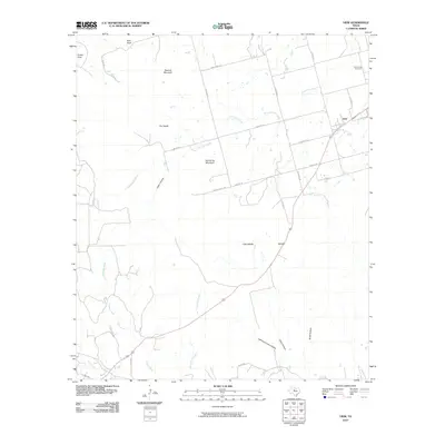
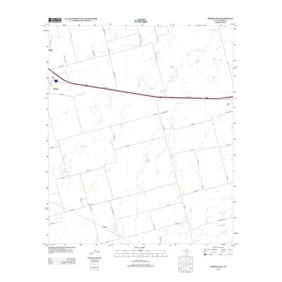
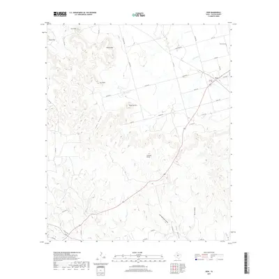
1984 Map of View
USGS Topo · Published 1987About this map
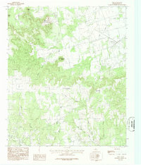
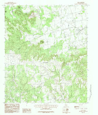
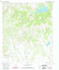
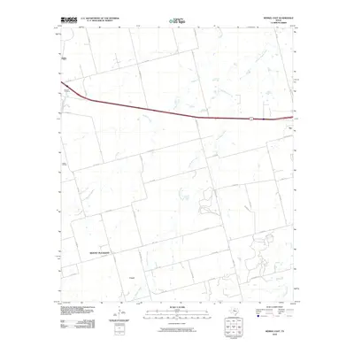
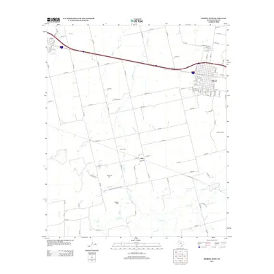
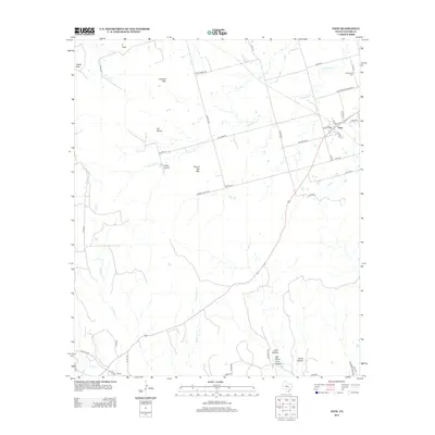
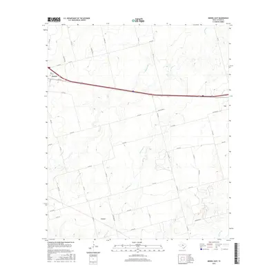
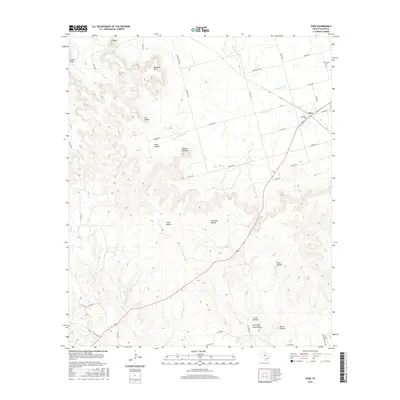
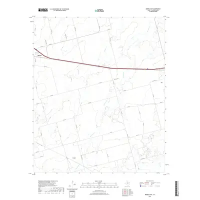
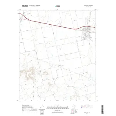
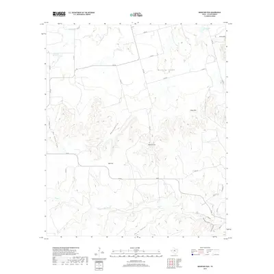
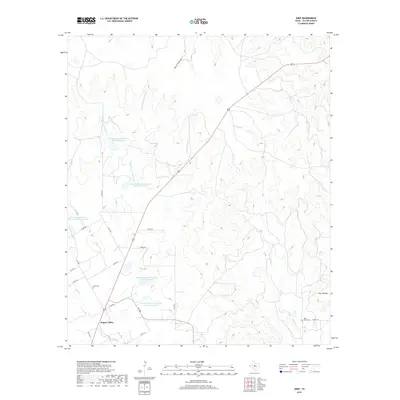
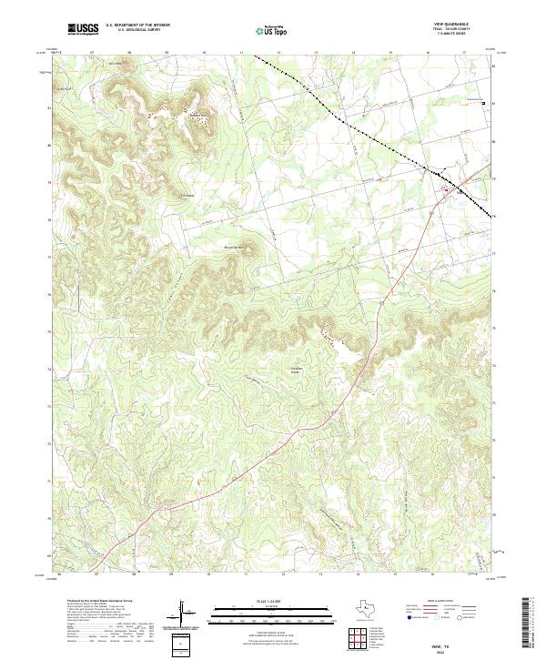
Buzzard Mountain and East Peak dominate the northern landscape of this Taylor County region, where the terrain breaks sharply into the prominent Divide. This 1980s provisional survey captures the transition from the high, flat-topped mesas like Round Top Mountain and Cat Heads to the complex drainage networks of Elm Creek and Little Elm Creek. The small community of View sits at a highway junction in the northeast, served by a nearby Cem and characterized by the open ranching and agricultural land typical of the Texas Rolling Plains. Industrial activity is evidenced by a Quarry and Gravel Pit along the roadsides, while travelers during this era would have passed the Roadside Park near the headwaters of Cedar Creek. The map also traces the Callahan county line as it intersects the rugged Lewis Canyon and the winding course of Horse Fall Creek.
Find a feature on this map
21 named features on this map. Tap any name to fly to it.
Don’t see what you’re looking for? This feature index may not catch every label — zoom into the map to look around manually.
Map Details
Editions of this 1984 View Map
2 editions found
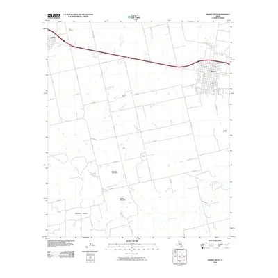
Historical Maps of View Through Time
48 maps found
1957 Abilene East
Taylor County, TX
1957 Abilene West
Taylor County, TX
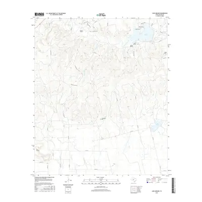
1967 Lake Abilene
Taylor County, TX
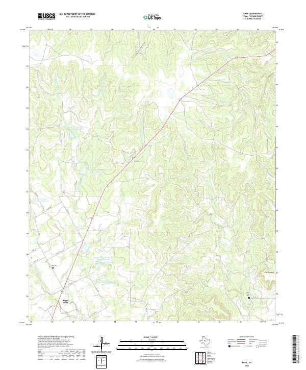
1967 Shep
Taylor County, TX
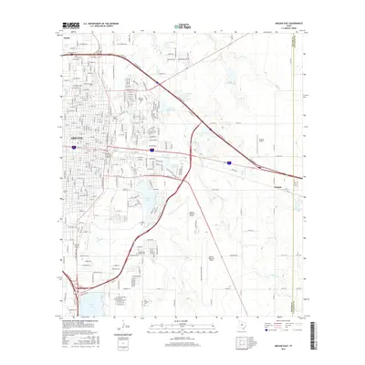
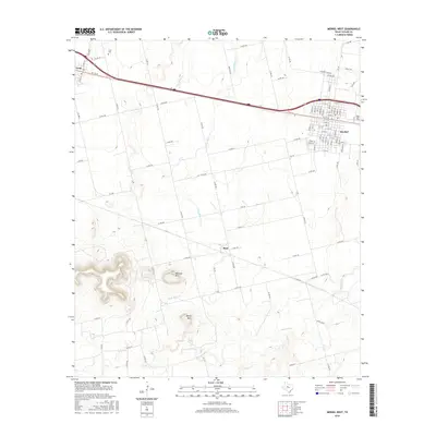
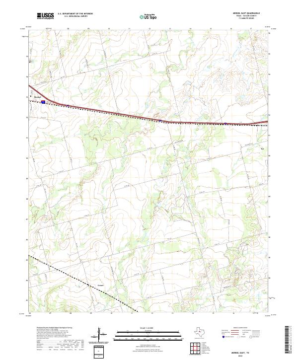
1984 Merkel East
Taylor County, TX
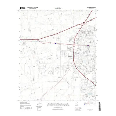
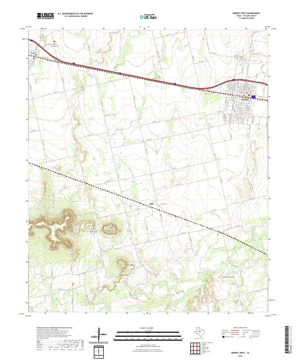
1984 Merkel West
Taylor County, TX
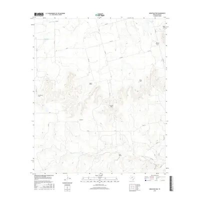
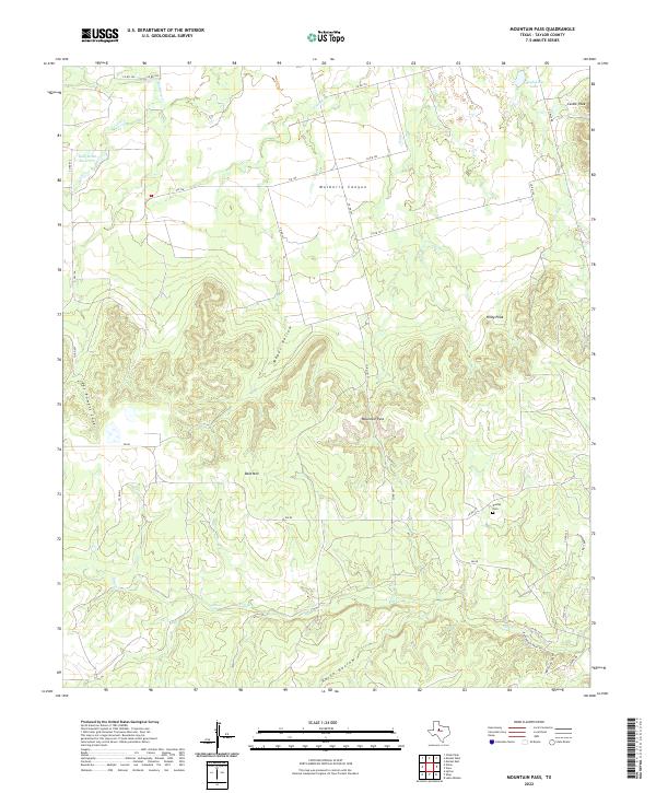
1984 Mountain Pass
Taylor County, TX
1984 View
Taylor County, TX
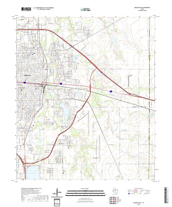
2010 Abilene East
Taylor County, TX
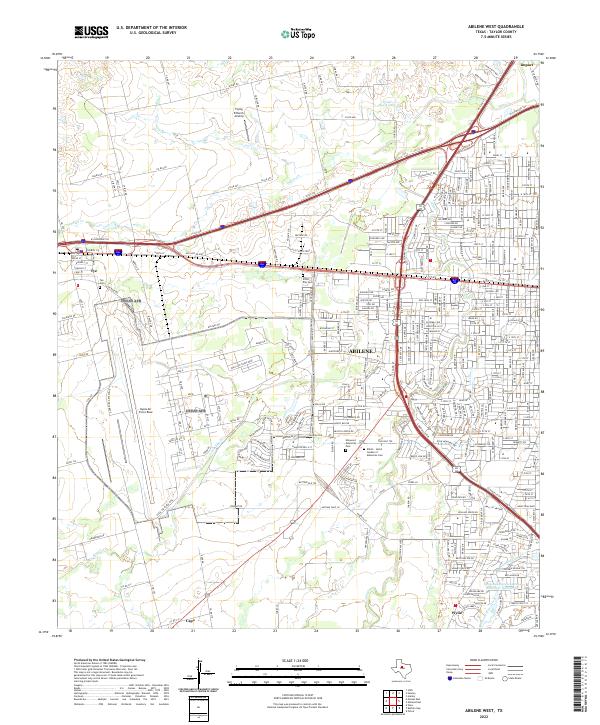
2010 Abilene West
Taylor County, TX
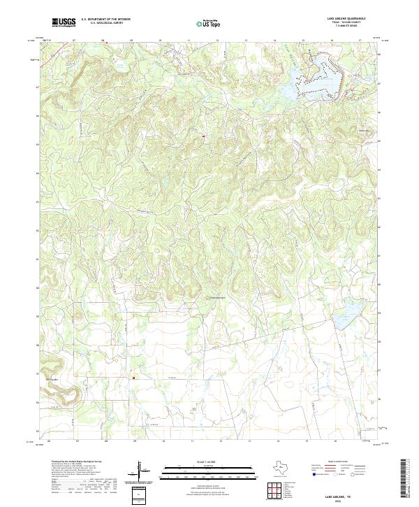
2010 Lake Abilene
Taylor County, TX
2010 Merkel East
Taylor County, TX
2010 Merkel West
Taylor County, TX
2010 Mountain Pass
Taylor County, TX
2010 Shep
Taylor County, TX
2010 View
Taylor County, TX
2012 Abilene East
Taylor County, TX
2012 Abilene West
Taylor County, TX
2012 Lake Abilene
Taylor County, TX
2012 Merkel East
Taylor County, TX
2012 Merkel West
Taylor County, TX
2012 Mountain Pass
Taylor County, TX
2012 Shep
Taylor County, TX
2012 View
Taylor County, TX
2016 Abilene East
Taylor County, TX
2016 Abilene West
Taylor County, TX
2016 Lake Abilene
Taylor County, TX
2016 Merkel East
Taylor County, TX
2016 Merkel West
Taylor County, TX
2016 Mountain Pass
Taylor County, TX
2016 Shep
Taylor County, TX
2016 View
Taylor County, TX
2019 Abilene East
Taylor County, TX
2019 Abilene West
Taylor County, TX
2019 Lake Abilene
Taylor County, TX
2019 Merkel East
Taylor County, TX
2019 Merkel West
Taylor County, TX
2019 Mountain Pass
Taylor County, TX
2019 Shep
Taylor County, TX
2019 View
Taylor County, TX
2022 Abilene East
Taylor County, TX
2022 Abilene West
Taylor County, TX
2022 Lake Abilene
Taylor County, TX
2022 Merkel East
Taylor County, TX
2022 Merkel West
Taylor County, TX
2022 Mountain Pass
Taylor County, TX
2022 Shep
Taylor County, TX
2022 View
Taylor County, TX