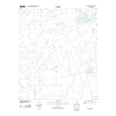
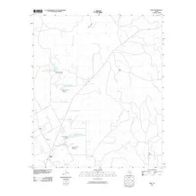
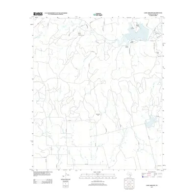
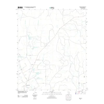
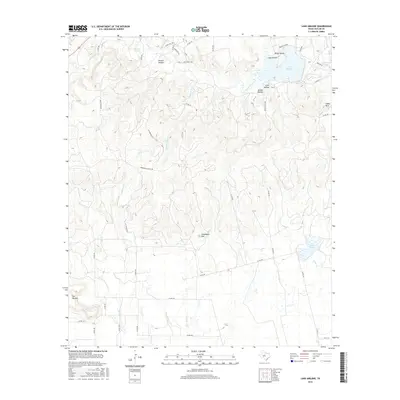
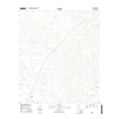
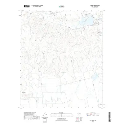
1967 Map of Lake Abilene
USGS Topo · Published 1987About this map
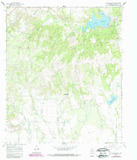
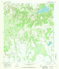
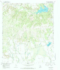
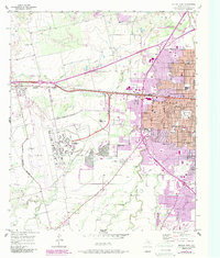
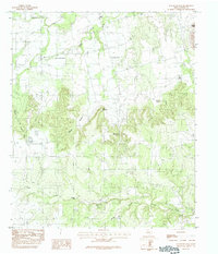
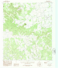
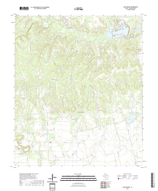
Lake Abilene and its surrounding parklands serve as the centerpiece of this Taylor County landscape, where the waters of Elm Creek are harnessed for the region. The map reveals a transition from the structured recreational spaces of Abilene State Park and Camp Tonkawa to the more isolated agricultural and ranching terrains of the south. High ground is dominated by distinctive topographic features like Steamboat Mountain and Flat Top Mountain, while the lowlands are carved by a dense network of drainages including Mill Creek, Cedar Creek, and Elam Creek. Evidence of local rural life is found at Moro Ch and Puckett Springs, alongside numerous oil wells and gravel pits that indicate the extraction-based economy of the late 1960s. To the southeast, the secondary reservoir at Graham Lake further illustrates the critical role of water management in this part of Texas.
Find a feature on this map
28 named features on this map. Tap any name to fly to it.
Don’t see what you’re looking for? This feature index may not catch every label — zoom into the map to look around manually.
Map Details
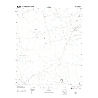
Editions of this 1967 Lake Abilene Map
3 editions found
Historical Maps of Taylor County Through Time
48 maps found
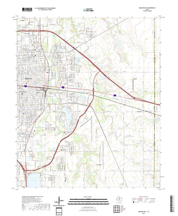
1957 Abilene East
Taylor County, TX
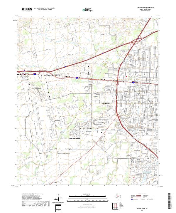
1957 Abilene West
Taylor County, TX
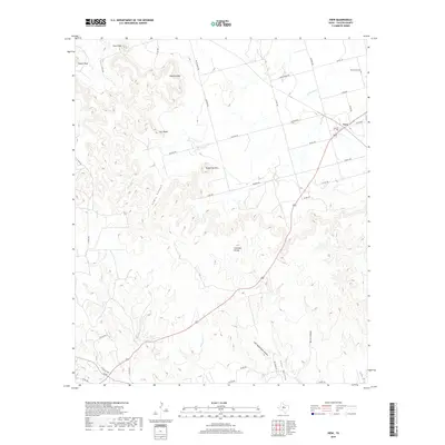
1967 Lake Abilene
Taylor County, TX
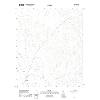
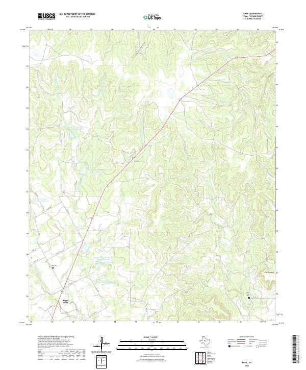
1967 Shep
Taylor County, TX
1984 Merkel East
Taylor County, TX
1984 Merkel West
Taylor County, TX
1984 Mountain Pass
Taylor County, TX
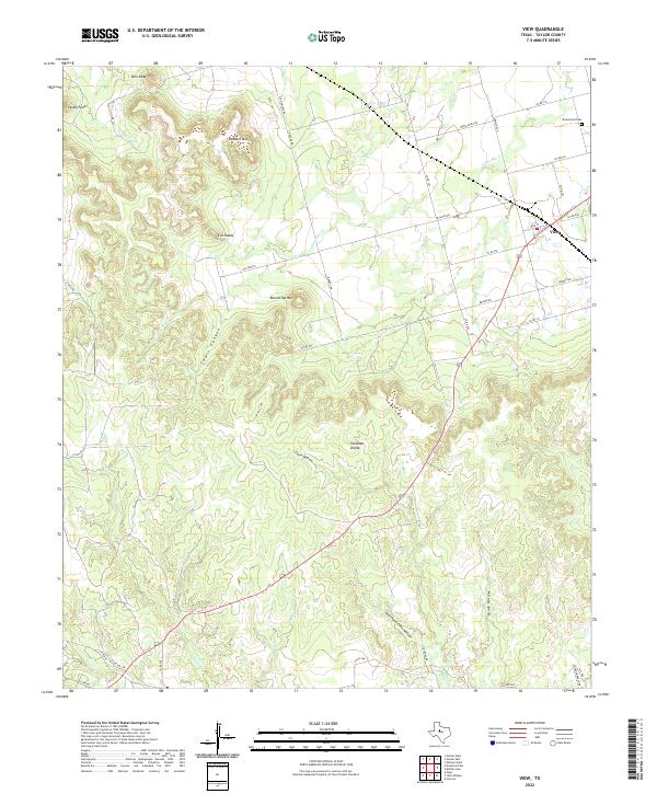
1984 View
Taylor County, TX
2010 Abilene East
Taylor County, TX
2010 Abilene West
Taylor County, TX
2010 Lake Abilene
Taylor County, TX
2010 Merkel East
Taylor County, TX
2010 Merkel West
Taylor County, TX
2010 Mountain Pass
Taylor County, TX
2010 Shep
Taylor County, TX
2010 View
Taylor County, TX
2012 Abilene East
Taylor County, TX
2012 Abilene West
Taylor County, TX
2012 Lake Abilene
Taylor County, TX
2012 Merkel East
Taylor County, TX
2012 Merkel West
Taylor County, TX
2012 Mountain Pass
Taylor County, TX
2012 Shep
Taylor County, TX
2012 View
Taylor County, TX
2016 Abilene East
Taylor County, TX
2016 Abilene West
Taylor County, TX
2016 Lake Abilene
Taylor County, TX
2016 Merkel East
Taylor County, TX
2016 Merkel West
Taylor County, TX
2016 Mountain Pass
Taylor County, TX
2016 Shep
Taylor County, TX
2016 View
Taylor County, TX
2019 Abilene East
Taylor County, TX
2019 Abilene West
Taylor County, TX
2019 Lake Abilene
Taylor County, TX
2019 Merkel East
Taylor County, TX
2019 Merkel West
Taylor County, TX
2019 Mountain Pass
Taylor County, TX
2019 Shep
Taylor County, TX
2019 View
Taylor County, TX
2022 Abilene East
Taylor County, TX
2022 Abilene West
Taylor County, TX
2022 Lake Abilene
Taylor County, TX
2022 Merkel East
Taylor County, TX
2022 Merkel West
Taylor County, TX
2022 Mountain Pass
Taylor County, TX
2022 Shep
Taylor County, TX
2022 View
Taylor County, TX