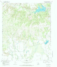
1967 Map of Lake Abilene
USGS Topo · Published 1984About this map
Abilene State Park anchors this West Texas landscape, bordering the waters of Lake Abilene as they were surveyed in the mid-1960s. The terrain is defined by dramatic mesas and ridges, including the prominent Steamboat Mountain and Flat Top Mountain, which rise above a network of seasonal drainages like Elm Creek and Mill Creek. This era of Taylor County history is marked by a clear intersection of recreation and industry, with numerous Oil Wells peppered across the hillsides and concentrated within the Flag Oil Field.
Find a feature on this map
28 named features on this map. Tap any name to fly to it.
Don’t see what you’re looking for? This feature index may not catch every label — zoom into the map to look around manually.
Map Details
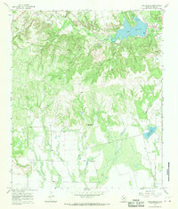
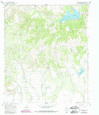
Editions of this 1967 Lake Abilene Map
3 editions found
Other maps of this area

1890 · Abilene
USGS Topo · 1:125,000

1892 · Abilene
USGS Topo · 1:125,000

1893 · Sweetwater
USGS Topo · 1:125,000

1954 · Big Spring
USGS Topo · 1:250,000

1954 · Abilene
USGS Topo · 1:250,000

1957 · Merkel
USGS Topo · 1:62,500

1957 · Buffalo Gap
USGS Topo · 1:62,500

1958 · Big Spring
USGS Topo · 1:250,000

1958 · Abilene
USGS Topo · 1:250,000
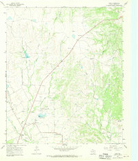
1967 · Shep
USGS Topo · 1:24,000