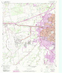
1957 Map of Abilene West
USGS Topo · Published 1987About this map
Dyess Air Force Base dominates the western landscape of this mid-century survey, its expansive runways and military reservation boundary defining the edge of the expanding city. The urban core of Abilene pushes westward, shown with purple revisions that highlight the growth of residential subdivisions and institutional landmarks like McMurry College and the West Texas Rehabilitation Center. The transportation network relies on the Missouri Pacific railroad and Interstate 20, which facilitate movement between the downtown area and the outlying settlements of Tye and Caps.
Find a feature on this map
37 named features on this map. Tap any name to fly to it.
Don’t see what you’re looking for? This feature index may not catch every label — zoom into the map to look around manually.
Map Details
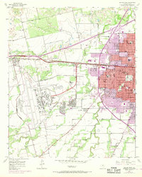
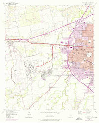
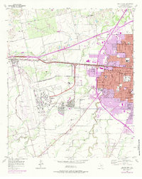
Editions of this 1957 Abilene West Map
5 editions found
Other maps of this area

1890 · Abilene
USGS Topo · 1:125,000

1891 · Anson
USGS Topo · 1:125,000

1892 · Abilene
USGS Topo · 1:125,000

1893 · Anson
USGS Topo · 1:125,000

1954 · Abilene
USGS Topo · 1:250,000

1957 · Hawley
USGS Topo · 1:62,500

1957 · Kirby Lake
USGS Topo · 1:62,500

1957 · Abilene West
USGS Topo · 1:24,000

1957 · Abilene East
USGS Topo · 1:24,000

1957 · Nugent
USGS Topo · 1:62,500