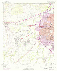
1957 Map of Abilene West
USGS Topo · Published 1975About this map
Dyess Air Force Base dominates the western landscape of this mid-century survey, its expansive runways and military structures established within a designated Military Reservation Boundary. To the east, the urban expansion of Abilene is clearly visible, with residential blocks pushing toward the base and southward past the City Boundary. The local infrastructure of the era is defined by the Texas and Pacific railroad corridor and a network of neighborhood institutions, including McMurry College and Blue Sox Stadium.
Find a feature on this map
43 named features on this map. Tap any name to fly to it.
Don’t see what you’re looking for? This feature index may not catch every label — zoom into the map to look around manually.
Map Details
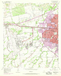
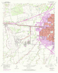
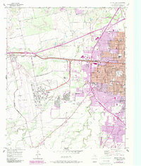
Editions of this 1957 Abilene West Map
5 editions found
Other maps of this area

1890 · Abilene
USGS Topo · 1:125,000

1891 · Anson
USGS Topo · 1:125,000

1892 · Abilene
USGS Topo · 1:125,000

1893 · Anson
USGS Topo · 1:125,000

1954 · Abilene
USGS Topo · 1:250,000

1957 · Hawley
USGS Topo · 1:62,500

1957 · Kirby Lake
USGS Topo · 1:62,500

1957 · Abilene West
USGS Topo · 1:24,000

1957 · Abilene East
USGS Topo · 1:24,000

1957 · Nugent
USGS Topo · 1:62,500