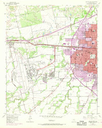
1957 Map of Abilene West
USGS Topo · Published 1968About this map
Dyess Air Force Base dominates the western landscape of this mid-century survey, its expansive runways and military structures situated just south of the Texas and Pacific railroad and the Veterans World War II Highway. To the east, the growing urban footprint of Abilene pushes into neighborhoods like Crescent Heights, revealing a post-war transition from rural ranching land to a sprawling suburban and educational hub. The map records several neighborhood anchors including McMurry College and numerous local institutions such as Fannin Sch and Grace Ch. Waterways like Elm Creek and Cat Claw Creek wind through the terrain, which is dotted with Gravel Pits and several drive-in theaters. This 1968 revision, based on 1957 field data, uses purple tinting to highlight the rapid urban expansion toward the outlying settlements of Tye, Wylie, and Caps.
Find a feature on this map
42 named features on this map. Tap any name to fly to it.
Don’t see what you’re looking for? This feature index may not catch every label — zoom into the map to look around manually.
Map Details
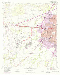
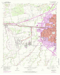
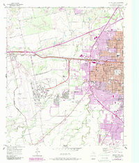
Editions of this 1957 Abilene West Map
5 editions found
Other maps of this area

1890 · Abilene
USGS Topo · 1:125,000

1891 · Anson
USGS Topo · 1:125,000

1892 · Abilene
USGS Topo · 1:125,000

1893 · Anson
USGS Topo · 1:125,000

1954 · Abilene
USGS Topo · 1:250,000

1957 · Hawley
USGS Topo · 1:62,500

1957 · Kirby Lake
USGS Topo · 1:62,500

1957 · Abilene West
USGS Topo · 1:24,000

1957 · Abilene East
USGS Topo · 1:24,000

1957 · Nugent
USGS Topo · 1:62,500