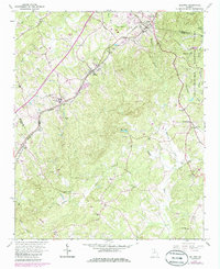
1964 Map of Baldwin
USGS Topo · Published 1986About this map
The Southern railroad line carves through the rolling hills of northeast Georgia, connecting the rail towns of Baldwin and Alto. This mid-century landscape is defined by its deep spiritual and community roots, evidenced by an exceptional density of country churches and family burial grounds. Notable sites like The Line Ch, Mud Creek Ch, and Mt Sinai Ch are joined by numerous small plots such as Wynn Cem and Woodley Cem, providing a detailed record for genealogical research.
Find a feature on this map
49 named features on this map. Tap any name to fly to it.
Don’t see what you’re looking for? This feature index may not catch every label — zoom into the map to look around manually.
Map Details
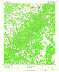
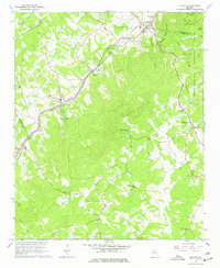
Editions of this 1964 Baldwin Map
3 editions found
Other maps of this area

1886 · Dahlonega
USGS Topo · 1:125,000

1886 · Walhalla
USGS Topo · 1:125,000

1891 · Gainesville
USGS Topo · 1:125,000

1891 · Carnesville
USGS Topo · 1:125,000

1892 · Dahlonega
USGS Topo · 1:125,000

1892 · Walhalla
USGS Topo · 1:125,000

1896 · Walhalla
USGS Topo · 1:125,000

1896 · Dahlonega
USGS Topo · 1:125,000

1903 · Dahlonega
USGS Topo · 1:125,000

1954 · Greenville
USGS Topo · 1:250,000