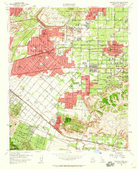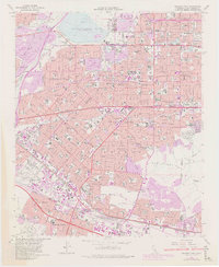
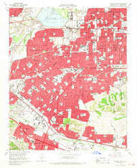
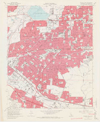
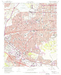
1966 Map of Baldwin Park
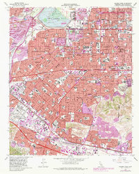
USGS Topo · Published 1982About this map
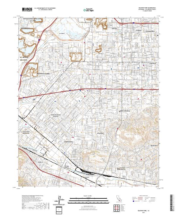
The Santa Fe Flood Control Basin dominates the northern landscape of this San Gabriel Valley region, where the San Gabriel River flows through an increasingly industrialized corridor. By the early 1980s, suburban expansion had tightly integrated the settlements of Baldwin Park, West Covina, and La Puente. The map captures a transitional era for the City of Industry, showing its specialized development along the Southern Pacific rail lines and the Pomona Freeway. Notable institutional landmarks like the Azusa Valley Sanitarium and El Encanto Sanitarium reflect the area's history as a site for healthcare and recovery, while numerous gravel pits and the gaging stations along Big Dalton Wash highlight the management of the valley's natural resources and water systems during a period of rapid urbanization.
Find a feature on this map
52 named features on this map. Tap any name to fly to it.
Don’t see what you’re looking for? This feature index may not catch every label — zoom into the map to look around manually.
Map Details
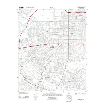
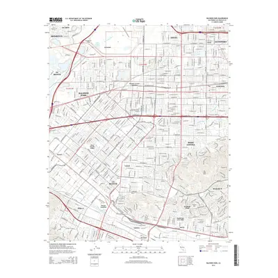
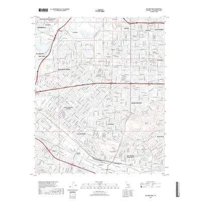
Editions of this 1966 Baldwin Park Map
5 editions found
Historical Maps of El Monte Through Time
6 maps found