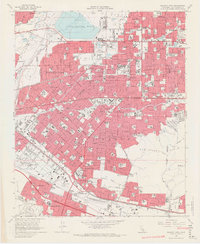
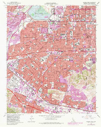
1966 Map of Baldwin Park
USGS Topo · Published 1967About this map
The San Gabriel River and its associated flood infrastructure dominate the northwestern landscape of this mid-1960s Los Angeles County survey. The Santa Fe Flood Control Basin stands as a massive engineered feature, while the surrounding terrain is a dense network of suburban expansion and industrial zoning. The newly established Industry (marked by its post office name) sits adjacent to established communities like La Puente and West Covina, reflecting the post-war shift toward specialized industrial municipalities.
Find a feature on this map
132 named features on this map. Tap any name to fly to it.
Don’t see what you’re looking for? This feature index may not catch every label — zoom into the map to look around manually.
Map Details
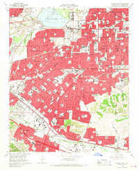
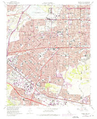
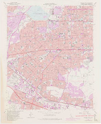
Editions of this 1966 Baldwin Park Map
5 editions found
Other maps of this area

1894 · Los Angeles
USGS Topo · 1:62,500

1894 · Pomona
USGS Topo · 1:62,500

1896 · Pasadena
USGS Topo · 1:62,500

1896 · Anaheim
USGS Topo · 1:62,500

1896 · Downey
USGS Topo · 1:62,500

1897 · Pomona
USGS Topo · 1:62,500

1898 · Pomona
USGS Topo · 1:62,500

1898 · Anaheim
USGS Topo · 1:62,500

1899 · Downey
USGS Topo · 1:62,500

1900 · Pasadena
USGS Topo · 1:62,500