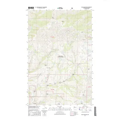
2017 Map of Baldy Mountain
USGS Topo · Published 2017About this map
Ardenvoir sits at the southwestern edge of this 2017 survey, serving as a gateway to the high elevations of the Wenatchee National Forest. The landscape is defined by the sharp rise of the Chelan Mountains, where peaks like Baldy Mountain and Forest Mtn overlook a complex network of canyons and gulches. The Entiat River drainage system is well-represented here, with numerous named springs such as Baldy Spring Number 1 and Harris Creek Spring Number 1 feeding into Harris Cr and the various forks of Mud Cr.
Find a feature on this map
56 named features on this map. Tap any name to fly to it.
Don’t see what you’re looking for? This feature index may not catch every label — zoom into the map to look around manually.
Map Details
Editions of this 2017 Baldy Mountain Map
This is the sole edition of this map. No revisions or reprints were ever made.
Other maps of this area

1901 · Chelan
USGS Topo · 1:125,000

1957 · Wenatchee
USGS Topo · 1:250,000

1968 · Entiat
USGS Topo · 1:24,000

1968 · Tyee Mtn.
USGS Topo · 1:24,000
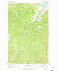
1968 · Stormy Mtn.
USGS Topo · 1:24,000

1968 · Ardenvoir
USGS Topo · 1:24,000

1968 · Baldy Mtn
USGS Topo · 1:24,000
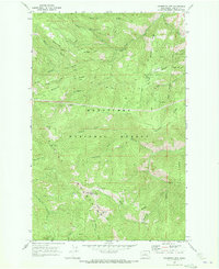
1968 · Chumstick Mtn
USGS Topo · 1:24,000
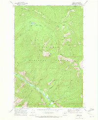
1968 · Brief
USGS Topo · 1:24,000

1968 · Winesap
USGS Topo · 1:24,000