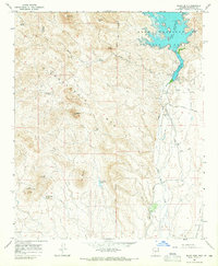
1964 Map of Baldy Mtn
USGS Topo · Published 1965About this map
The Hieroglyphic Mts dominate this mid-century desert landscape, where water management and mineral extraction define the local economy. The Agua Fria River feeds into Lake Pleasant, a central feature surrounded by the Lake Pleasant Regional Park. Significant engineering is visible in the irrigation infrastructure, including the Beardsley Canal, a prominent flume, and the Siphon that directs water across the arid terrain. Mining activity is concentrated around the southern peaks, specifically at the White Peak Mine and White Peak Quarry near White Peak. The presence of a Landing Field and a network of jeep trails suggest a rugged environment that was beginning to see increased recreational and industrial access during the early 1960s. Geographic reference points like the Gila and Salt River Meridian and landmarks such as Twin Buttes and Saddleback Mtn provide clear orientation for researchers and surveyors.
Find a feature on this map
34 named features on this map. Tap any name to fly to it.
Don’t see what you’re looking for? This feature index may not catch every label — zoom into the map to look around manually.
Map Details
Editions of this 1964 Baldy Mtn Map
4 editions found
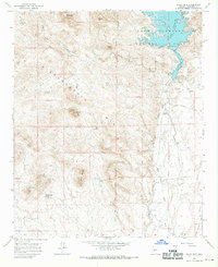
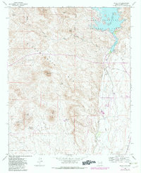
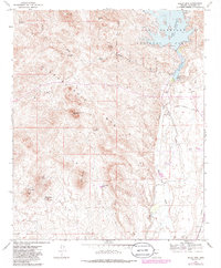
Other maps of this area

1954 · Phoenix
USGS Topo · 1:250,000

1957 · Phoenix
USGS Topo · 1:250,000

1957 · Calderwood Butte
USGS Topo · 1:24,000

1957 · McMicken Dam
USGS Topo · 1:24,000

1957 · Hedgpeth Hills
USGS Topo · 1:24,000

1958 · Phoenix
USGS Topo · 1:250,000

1960 · Phoenix
USGS Topo · 1:250,000
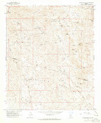
1964 · Garfias Mountain
USGS Topo · 1:24,000
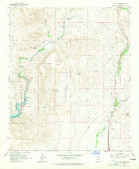
1964 · New River
USGS Topo · 1:24,000
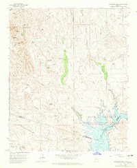
1964 · Governors Peak
USGS Topo · 1:24,000