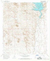
1964 Map of Baldy Mtn
USGS Topo · Published 1969About this map
The Hieroglyphic Mts dominate this mid-century landscape, characterized by a series of prominent peaks and intricate drainage systems. In the northeastern corner, Lake Pleasant Regional Park is a major feature, with the Agua Fria River and its associated infrastructure, including a Canal, Flume, and Siphon, illustrating the complex water management required in this arid environment. The map captures the area's resource extraction history through the Prince Mine and White Peak Quarry, while isolated outposts like Morgan City Well and Whiteway mark the sparse human footprint. The terrain is defined by dramatic elevations such as Baldy Mtn, Saddleback Mtn, and Twin Buttes, providing a clear record of the geographical landmarks used by early surveyors and local ranchers.
Find a feature on this map
33 named features on this map. Tap any name to fly to it.
Don’t see what you’re looking for? This feature index may not catch every label — zoom into the map to look around manually.
Map Details
Editions of this 1964 Baldy Mtn Map
4 editions found
Other maps of this area

1954 · Phoenix
USGS Topo · 1:250,000

1957 · Phoenix
USGS Topo · 1:250,000

1957 · Calderwood Butte
USGS Topo · 1:24,000

1957 · McMicken Dam
USGS Topo · 1:24,000

1957 · Hedgpeth Hills
USGS Topo · 1:24,000

1958 · Phoenix
USGS Topo · 1:250,000

1960 · Phoenix
USGS Topo · 1:250,000
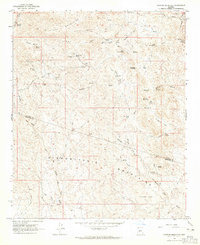
1964 · Garfias Mountain
USGS Topo · 1:24,000
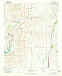
1964 · New River
USGS Topo · 1:24,000
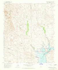
1964 · Governors Peak
USGS Topo · 1:24,000