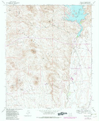
1964 Map of Baldy Mtn
USGS Topo · Published 1982About this map
The Hieroglyphic Mts dominate this mid-century desert landscape, where water management and mineral extraction defined the local economy. The eastern portion of the map centers on the water system of the Agua Fria River, featuring Lake Pleasant and the Lower Lake, which fed the vital Beardsley Canal and its associated flume to support downstream irrigation. Settlement is sparse, represented by small outposts like Whiteway and the Lake Pleasant Inn.
Find a feature on this map
31 named features on this map. Tap any name to fly to it.
Don’t see what you’re looking for? This feature index may not catch every label — zoom into the map to look around manually.
Map Details
Editions of this 1964 Baldy Mtn Map
4 editions found
Other maps of this area

1954 · Phoenix
USGS Topo · 1:250,000

1957 · Phoenix
USGS Topo · 1:250,000

1957 · Calderwood Butte
USGS Topo · 1:24,000

1957 · McMicken Dam
USGS Topo · 1:24,000

1957 · Hedgpeth Hills
USGS Topo · 1:24,000

1958 · Phoenix
USGS Topo · 1:250,000

1960 · Phoenix
USGS Topo · 1:250,000
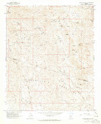
1964 · Garfias Mountain
USGS Topo · 1:24,000
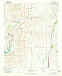
1964 · New River
USGS Topo · 1:24,000
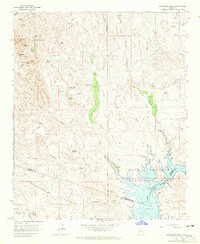
1964 · Governors Peak
USGS Topo · 1:24,000