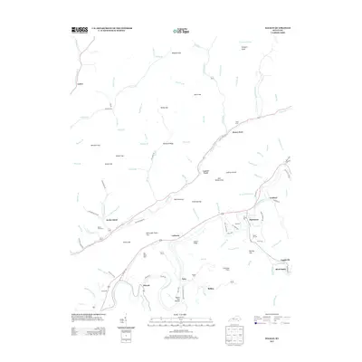
2013 Map of Balkan
USGS Topo · Published 2013About this map
The Cumberland River and Straight Cr define the settlement patterns of this Bell County region, where mountain hollows and gaps dictated the placement of small communities. The topography is dominated by the long ridge of Pine Mountain, which separates the valley of Kettle Island from the southern reaches near Miracle and Balkan. Genealogists will find a cluster of burial sites including Kettle Island Cem, Hall Cem, and Tacket Hill Cem, often situated near the mouths of local branches. These waterways, such as Schoolhouse Br and Stillhouse Br, reflect the essential local landmarks of early rural life. The map reveals the intricate network of roads like Peach Blossom Rd and Tejay Spur that connect isolated settlements like Tejay and Callaway through the gaps of the Cumberland plateau.
Find a feature on this map
114 named features on this map. Tap any name to fly to it.
Don’t see what you’re looking for? This feature index may not catch every label — zoom into the map to look around manually.
Map Details
Editions of this 2013 Balkan Map
This is the sole edition of this map. No revisions or reprints were ever made.
Other maps of this area

1886 · Cumberland Gap
USGS Topo · 1:125,000

1887 · Jonesville
USGS Topo · 1:125,000

1888 · Cumberland Gap
USGS Topo · 1:125,000

1891 · Cumberland Gap
USGS Topo · 1:125,000

1891 · Jonesville
USGS Topo · 1:125,000

1903 · Harlan
USGS Topo · 1:48,000

1903 · Pineville
USGS Topo · 1:48,000

1903 · Middlesboro
USGS Topo · 1:48,000

1916 · Harlan
USGS Topo · 1:48,000

1919 · Harlan
USGS Topo · 1:62,500